

Doppler Lidar Data Products Released for CoURAGE Campaign
Published: 28 January 2026
Value-added products (VAPs) providing horizontal wind profiles and vertical velocity statistics from Doppler lidar data are now available for the 2024–2025 Coast-Urban-Rural Atmospheric Gradient Experiment (CoURAGE) in the Baltimore, Maryland, area.
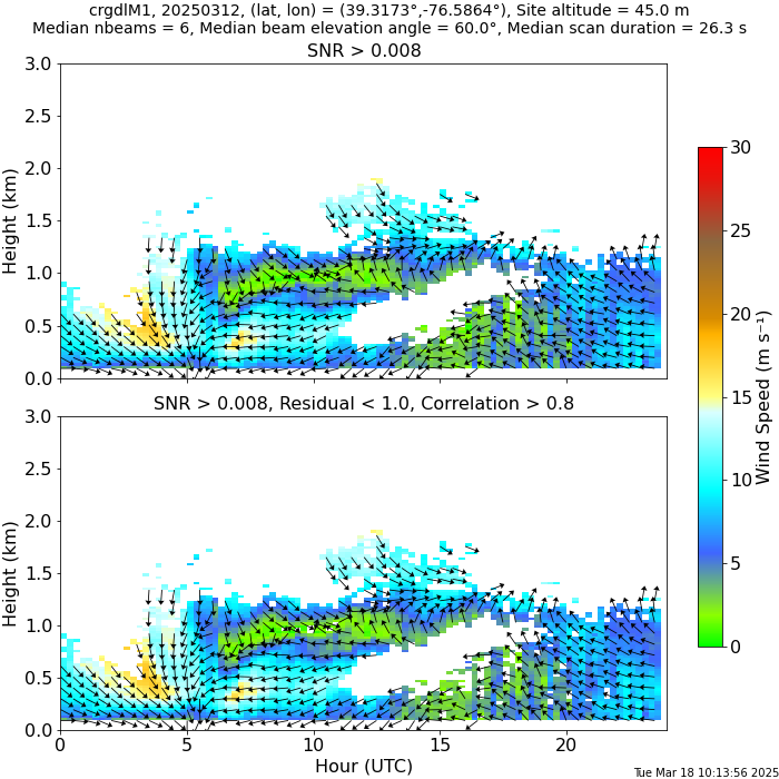
The Doppler Lidar Wind (DLPROF-WIND) VAP produces daily files containing profiles of wind speed and direction. The Doppler Lidar Vertical Velocity Statistics (DLPROF-WSTATS) VAP produces daily files containing height- and time-resolved estimates of vertical velocity variance, skewness (asymmetry), and kurtosis from vertically pointing measurements. DLPROF-WSTATS also provides estimates of cloud base height and cloud base vertical velocity.
During the CoURAGE field campaign, which ran from December 1, 2024, through November 30, 2025, the Atmospheric Radiation Measurement (ARM) User Facility operated one Doppler lidar each at the main instrument site in Baltimore, a rural ancillary site northwest of the city (supplemental facility 2), and an ancillary site on Kent Island within the Chesapeake Bay to the southeast (supplemental facility 3). Each Doppler lidar performed a plan position indicator (PPI) scan once every 10 or 15 minutes and stared vertically the rest of the time. The lidars at the main and bay sites performed PPI scans once every 15 minutes during the campaign. The lidar at the rural site ran PPI scans once every 10 minutes from the start of the campaign until August 2025, when it switched to once every 15 minutes.
Radial velocity measurements from each lidar were used to derive horizontal wind profiles from the PPI scans and vertical velocity statistics from the vertical staring data.
DLPROF-WIND processes each PPI scan acquired during a given day to produce time- and height-resolved measurements of the horizontal winds. The height resolution of the output is typically about 26 meters, and the time resolution depends on the frequency of the PPI scans. During CoURAGE, each PPI scan took approximately 40 seconds to complete, which means the resulting profiles represent 40-second snapshots of the atmosphere taken once every 10 or 15 minutes, depending on the lidar’s scan schedule.
![Time-height displays of DLPROF-WSTATS data show (a) vertical velocity variance from log( [m^2 s^-2]), (b) skewness from -3 to 3, and (c) kurtosis from 0 to 6 at the BNF main site on March 13, 2025. The heights of all plots range from 0 to 4 km.](/wp-content/uploads/CoURAGE_DLPROF-WSTATS.png)
DLPROF-WSTATS computes vertical velocity statistics from 1 Hz vertical staring data using a 30-minute averaging interval. The vertical resolution of the output is typically 30 meters, and the true time resolution is 30 minutes. The output is oversampled at 10-minute intervals.
More information about the VAPs, including their technical reports, can be found on the DLPROF-WIND and DLPROF-WSTATS web pages.
Access the DLPROF-WIND and DLPROF-WSTATS data in the ARM Data Center. (To download the data, first create an ARM account.)
For questions about these VAPs, please contact ARM translator Damao Zhang, Doppler lidar instrument mentor Rob Newsom, or VAP developer Gabriel Gibler.
To cite the DLPROF-WIND data, please use doi:10.5439/1178582. To cite the DLPROF-WSTATS data, please use doi:10.5439/1178583.
Follow Us:


Keep up with the Atmospheric Observer
Updates on ARM news, events, and opportunities delivered to your inbox
ARM User Profile
ARM welcomes users from all institutions and nations. A free ARM user account is needed to access ARM data.


