

New Aerosol Optical Depth Data Available for CAPE-k, COURAGE, and BNF
Published: 19 May 2026
The Aerosol Optical Depth (AOD) value-added product derived from 7-channel multifilter rotating shadowband radiometer (MFRSR) measurements is now available for the Cloud And Precipitation Experiment at kennaook (CAPE-k) in northwestern Tasmania; the Coast-Urban-Rural Atmospheric Gradient Experiment (CoURAGE) in the Baltimore, Maryland, area; and the Bankhead National Forest (BNF) atmospheric observatory in northern Alabama.
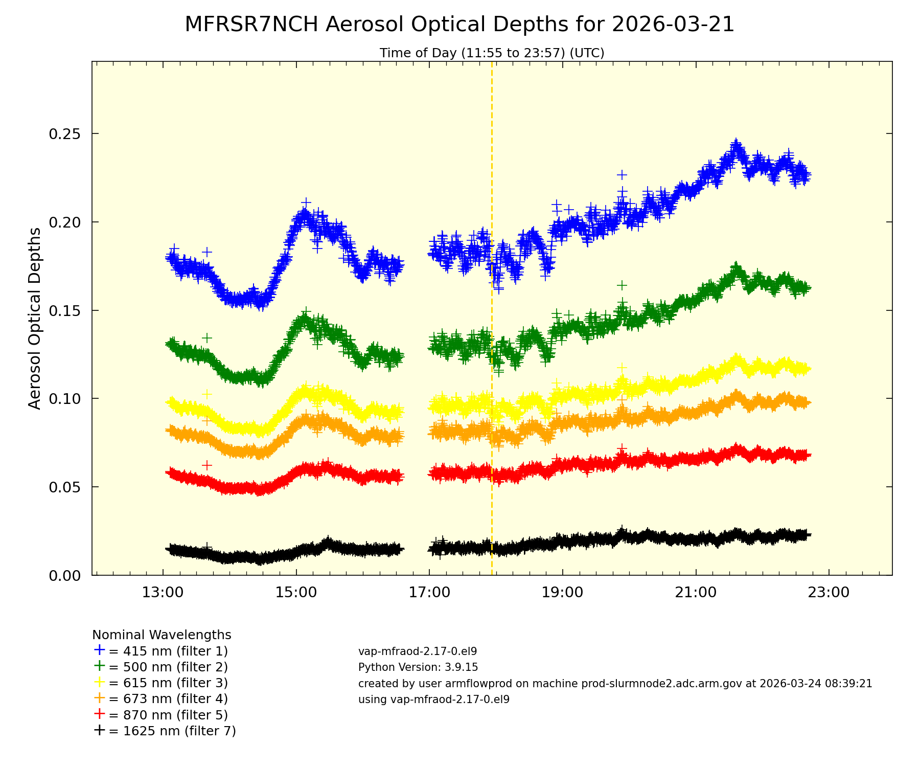
AOD is the measure of the total aerosol burden in a vertical column of the atmosphere. The value-added product, known as AOD-MFRSR, reports cloud-screened AOD from the direct normal irradiance measured by MFRSRs at the Atmospheric Radiation Measurement (ARM) User Facility’s ground-based sites.
AODs are calculated at wavelengths of 415, 500, 615, 673, 870, and 1625 nanometers (nm). The 940 nm channel is used to retrieve columnar abundances of water vapor.
Scientists use AOD measurements to evaluate aerosol radiative forcing in earth system models. Because AOD is a measure of the aerosol burden in the atmosphere, AOD-MFRSR also allows a user to analyze variability of aerosol loading.
The new AOD-MFRSR 7-channel production data are available for:
- the CAPE-k main site at kennaook ⁄ Cape Grim from April 15, 2024, to October 13, 2025
- the CoURAGE main site in Baltimore from December 1, 2024, to November 29, 2025
- CoURAGE rural supplemental site S2 near Mount Airy, Maryland, from December 1, 2024, to November 29, 2025
- CoURAGE supplemental site S3 on Kent Island within the Chesapeake Bay from December 1, 2024, to November 29, 2025
- the BNF main site from September 7, 2024, onward
- BNF supplemental site S20 at Courtland from October 2, 2024, onward
- BNF supplemental site S30 at Falkville from September 11, 2024, onward
- BNF supplemental site S40 at Double Springs from August 26, 2024, onward.
More information about the data, including the technical report, can be found on the AOD-MFRSR page.
Access the data in the ARM Data Center. (To download the data, first create an ARM account.)
For questions or to report data issues, please contact ARM translator John Shilling or developers Erol Cromwell and Krista Gaustad.
Data can be referenced as doi:10.5439/1756632.
Follow Us:


Keep up with the Atmospheric Observer
Updates on ARM news, events, and opportunities delivered to your inbox
ARM User Profile
ARM welcomes users from all institutions and nations. A free ARM user account is needed to access ARM data.


