An official website of the United States government





New Set of 3-Dimensional Cloud Positions Produced for SGP
Published: 30 June 2026
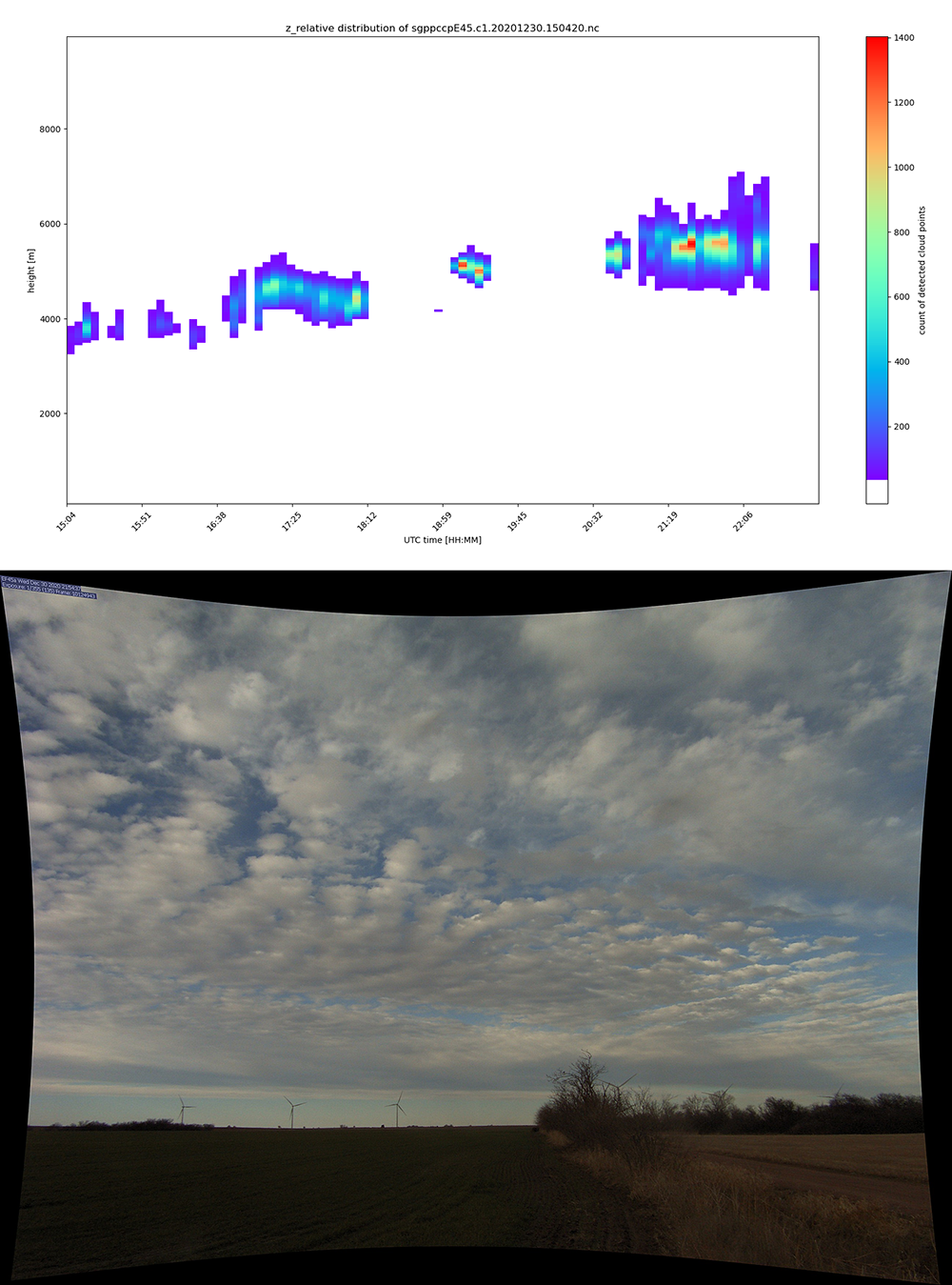
Additional data from the Point Cloud of Cloud Points value-added product (PCCP VAP) at the Atmospheric Radiation Measurement (ARM) User Facility’s Southern Great Plains (SGP) atmospheric observatory are now available for the years 2019 and 2020.
PCCP provides three-dimensional (3D) positions of clouds captured by stereo cameras. This VAP enables 3D representations related to macrophysical cloud features such as the cloud-base and cloud-top heights, structure of cloud boundaries, and cloud-level horizontal velocities.
At the SGP in Oklahoma, PCCP data are retrieved from images captured by stereo-calibrated camera pairs at extended facilities E43 (Lamont), E44 (Billings), and E45 (Tonkawa). The E43, E44, and E45 stereo cameras encircle the SGP Central Facility at an approximate 6-kilometer radius facing southeast, southwest, and north, respectively. Each camera has an approximate 75-degree horizontal field of view that extends out as far as tens of kilometers. Therefore, PCCP may include thousands of cloud-point positions from a wide horizontal region and altitude range at a time.
The dates for the new PCCP data are as follows:
- E43: March 7, 2020, through December 30, 2020
- E44: December 2, 2019, through December 30, 2020
- E45: October 31, 2019, through December 30, 2020.
PCCP data for the three extended facilities are available with a 20-second time resolution in netCDF format. A Python script that plots instantaneous PCCP data is also available.
More information about PCCP, including the technical report, can be found on the VAP web page.
Access the new PCCP data in the ARM Data Center. (To download the data, first create an ARM account.)
For questions or to report data issues, please contact David Romps.
Data can be referenced as doi:10.5439/1531325.

Follow Us:






Keep up with the Atmospheric Observer
Updates on ARM news, events, and opportunities delivered to your inbox
ARM User Profile
ARM welcomes users from all institutions and nations. A free ARM user account is needed to access ARM data.