

ARM Aims to Highlight, Strengthen Ties to DOE Earth System Model
Published: 26 September 2025
All-hands meeting brings together members of the ARM and E3SM communities
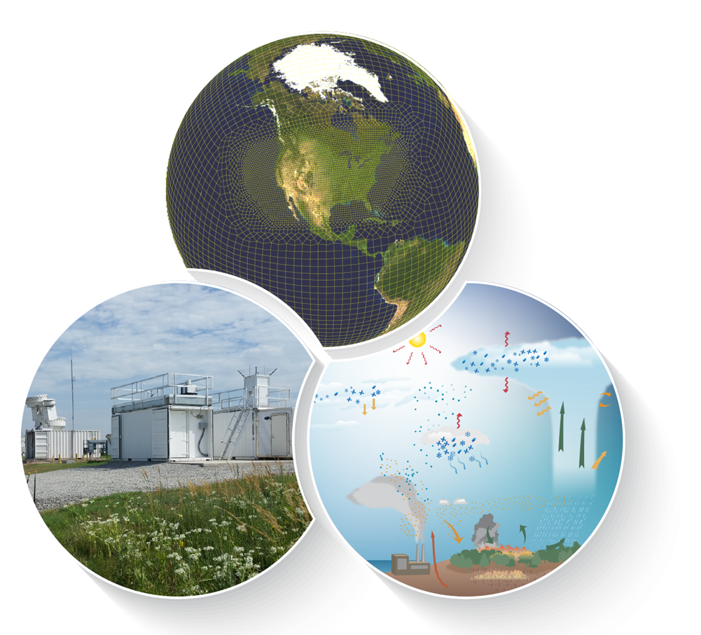
The Atmospheric Radiation Measurement (ARM) User Facility supports the U.S. Department of Energy (DOE) and Office of Science missions by providing atmospheric data to evaluate and improve the accuracy of earth system models. In support of these missions and to help ARM make further progress on its Decadal Vision goals and triennial review recommendations, ARM staff engage with modelers to discuss how ARM can contribute more effectively to the development and evaluation of earth system models. One key modeling group that ARM works with is DOE’s Energy Exascale Earth System Model (E3SM) community.
E3SM is a state-of-the-science earth system model development and simulation project to investigate energy-relevant science using code optimized for DOE’s advanced computers. The E3SM project is a part of the Earth & Environmental Systems Modeling (EESM) portfolio. ARM data are used to test and evaluate simplified representations of complex physical and chemical atmospheric processes in E3SM and its associated models.
In August 2025, ARM Director Jim Mather presented at the E3SM All-Hands Meeting in Bethesda, Maryland, to bring additional attention to ARM work that supports modeling and spur conversation about how to link ARM and E3SM activities more effectively.
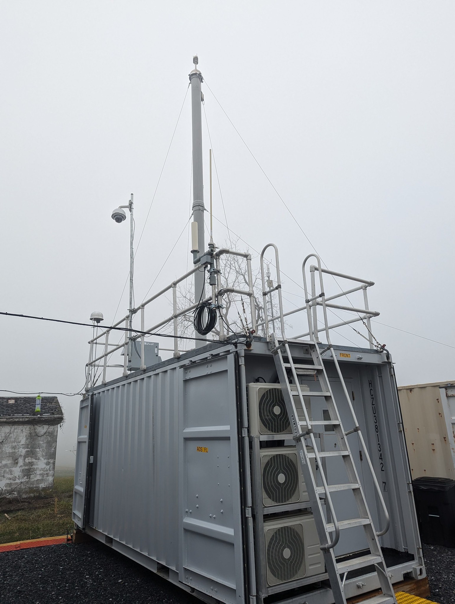
Mather told the audience about current ARM data products and tools for modelers and work related to ARM’s own high-resolution modeling activity. The Large-Eddy Simulation (LES) ARM Symbiotic Simulation and Observation (LASSO) team is preparing to release its third scenario, which focuses on shallow marine clouds at ARM’s Eastern North Atlantic atmospheric observatory.
In addition, Mather discussed topics raised through a recent modeling survey conducted by members of ARM’s User Executive Committee. This committee serves as the official voice of the user community in interactions with ARM management. One of the topics the survey raised was how ARM could include modelers in the field campaign planning process.
Regional Digital Testbeds: Linking ARM Observations
L. Ruby Leung of Pacific Northwest National Laboratory in Washington state and Paul Ullrich of Lawrence Livermore National Laboratory (LLNL) in California led a breakout session that provided insights into Regional Digital Testbeds (RDTs)—an approach to build understanding of the interplay between human and natural systems.
RDTs are essentially digital replicas of the real world, carefully designed using observations and data from complex interconnected systems. They enable scientists to examine how events such as extreme weather or supply chain disruptions ripple through communities and ecosystems and affect energy and water systems. Crucially, they also assess how interventions, including new energy infrastructure projects, affect the resilience and response of these systems.
Ullrich, who also leads an EESM project called A Framework for Improving Analysis and Modeling of Earth System and Intersectoral Dynamics at Regional Scales (HyperFACETS), explained how these virtual models could transform environmental research by integrating a broad portfolio of advanced DOE capabilities such as machine learning and process-based models.
A highlight of Ullrich’s presentation was the potential role of ARM in anchoring RDTs to observable reality. For example, data from ARM field campaigns, such as the ongoing Coast-Urban-Rural Atmospheric Gradient Experiment (CoURAGE) in Maryland, are helping researchers understand how aerosols interact with weather patterns in urban areas. These insights, in turn, feed into high-resolution earth system models, such as E3SM, refining predictions that are critical for energy and infrastructure planning.
Beyond the technical details, Ullrich emphasized the broader goals of RDTs. These include fostering new collaborations across disciplines, identifying gaps in regional systems knowledge, and expanding the application of artificial intelligence/machine learning to address emerging scientific challenges. RDTs are not just tools for research; they are platforms for innovation and community engagement, bringing together scientists, practitioners, and regional collaborators to tackle DOE priorities.
More ARM-E3SM Connections
Several ARM staff and users are also E3SM project leaders. Their presentation topics at the meeting included further development of the E3SM atmospheric model, E3SM’s contribution to digital testbeds, and plans for improving predictions from seasonal-to-decadal (S2D) scales. Such modeling is important for many forms of energy development to inform energy needs and potential impacts on energy infrastructure.
After Mather’s presentation, LLNL’s Yunyan Zhang presented on the Tying in High-Resolution E3SM with ARM Data (THREAD) Science Focus Area project. This project is supported by DOE’s Atmospheric System Research (ASR) program area.
To enhance the coupling of DOE’s Simple Cloud-Resolving E3SM Atmosphere Model (SCREAM) with ARM data, THREAD uses three tools that enable researchers to zoom in on ARM sites. These include a regionally refined version of SCREAM, called RRM-SCREAM, which has fine resolution (typically 3.25 kilometers, or about 2 miles) around the ARM site of interest and coarser resolution elsewhere. Even more efficient is the doubly periodic version of SCREAM (DP-SCREAM), which has simplified lower boundary conditions and wraparound of horizontal boundaries. Finally, the THREAD team is helping to evaluate the traditional lower-resolution version of E3SM through a single-column model that uses the simplified physics of the lower-resolution E3SM configuration.
Together, Leung and LLNL’s Shaocheng Xie led a breakout session focused on S2D predictions and three key science questions:
- How does the E3SM S2D prediction skill depend on the initialization methods and the initial conditions?
- Which modes of long-term variability and initial state variables are most critical for skillful S2D predictions using E3SM?
- To what extent does E3SM S2D prediction accurately capture environmental conditions and phenomena, such as extreme events, relevant to energy and water resources across different regions and timescales?
Xie and Leung said an E3SM S2D group would be created to address these questions.
The meeting also featured several sessions on artificial intelligence and its applications in modeling. During a Day 2 breakout session, Jiwen Fan of Argonne National Laboratory in Illinois discussed biases—statistical differences between model outputs and observations—in aerosol-cloud interactions. She noted that one objective is to achieve more accurate calculations of clouds, aerosols, and their interactions, which are computationally prohibitive in earth system models.
LLNL’s Xue Zheng, who is ARM’s User Executive Committee vice-chair, gave a plenary presentation that focused on the new E3SM version 3 high-resolution configuration, major changes compared with another version of the model, current and planned simulation campaigns, early analyses, and lessons learned.
E3SM Leadership Transitions
It was also announced at the all-hands meeting that EESM Program Manager Xujing Davis was leaving her E3SM leadership role to take on a new DOE position. Davis is now the Scientific Discovery through Advanced Computing (SciDAC) program manager within the DOE Office of Science’s Advanced Scientific Computing Research (ASCR) program.
Davis began her EESM tenure in the spring of 2020 and played a key role in enabling E3SM’s transition to exascale computing, preparing SCREAM to perform efficiently on leading-edge high-performance computing systems, such as DOE’s Frontier supercomputer.
Earlier this year, LLNL’s Peter Caldwell was named principal investigator for the E3SM project. He replaces David Bader, who is retiring after decades of transformative contributions to earth system science and computational modeling.
Follow Us:


Keep up with the Atmospheric Observer
Updates on ARM news, events, and opportunities delivered to your inbox
ARM User Profile
ARM welcomes users from all institutions and nations. A free ARM user account is needed to access ARM data.


