An official website of the United States government





Laser Focus: ARM Puts Lidars to the Test
Published: 30 July 2026
Instrument intercomparison designed to help ARM identify the best lidar systems for observing the planetary boundary layer
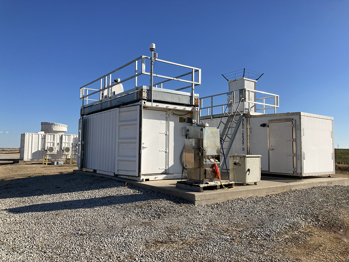
Across a field of instruments in northern Oklahoma, thousands of laser pulses probe the skies every second to observe different atmospheric properties, including clouds, aerosols, winds, and water vapor.
These views are central to the Robust Evaluation of Atmospheric Lidars (REAL) being conducted by the U.S. Department of Energy’s Atmospheric Radiation Measurement (ARM) User Facility.
REAL brings together one of the largest collections of atmospheric lidar systems ever assembled at ARM’s Southern Great Plains (SGP) atmospheric observatory to compare how different instruments measure Earth’s lower atmosphere and perform under a variety of real-world conditions.
Lidar, short for light detection and ranging, works by sending pulses of laser light into the atmosphere and measuring the light scattered back toward the instrument. ARM operates a wide variety of lidars at its fixed-location and mobile sites, including ceilometers, Doppler lidars, high-spectral-resolution lidars, micropulse lidars, and Raman lidars.
ARM Instrument Operations Manager Adam Theisen says the REAL intercomparison will provide data for a strategic assessment to guide future lidar deployment decisions, with the purpose of streamlining operations and ensuring that each site is equipped to produce the most useful scientific observations.
The intercomparison analysis, he adds, will help ARM identify which instruments perform best for specific phenomena, such as high-cloud detection or blowing snow. “The goal is to analyze the performance of the systems and make strategic decisions about which system or combination of systems will provide us with the greatest operational value.”
Collaborations Add to REAL
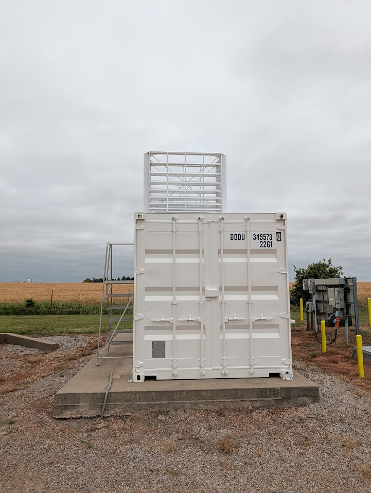
REAL began in December 2025 and is scheduled to run through August 2026.
In addition to ARM lidars, the intercomparison features new systems, such as a polarization-enabled ceilometer and an ultra-high-definition mini micropulse lidar. Including guest instruments, eight types of lidar systems are being evaluated.
Among the guest instruments are four micropulse differential absorption lidars deployed by the National Science Foundation’s National Center for Atmospheric Research. These lidars provide complementary measurements. A guest instrument deployment from NOAA’s National Severe Storms Laboratory remains planned, pending operational readiness.
REAL also includes coordinated observations with the European/Japanese Earth Cloud, Aerosol, and Radiation Explorer (EarthCARE) satellite, which carries its own Earth-facing atmospheric lidar.
Roughly every two weeks, the satellite passes over the SGP, triggering an intensive operational period (IOP) on the ground. Under routine operations for REAL, ARM launches one radiosonde each day. During EarthCARE IOPs, six sondes are launched at three-hour intervals to provide detailed atmospheric profiles for comparison with satellite observations.
Theisen says this partnership with EarthCARE is helping ARM strengthen its connection with the Aerosol, Clouds and Trace Gases Research Infrastructure (ACTRIS), a pan-European consortium of atmospheric science observatories and data centers that operates instruments similar to ARM’s. ARM seeks stronger alignment with ACTRIS on data standards and operations.
Evaluating Lidar Retrievals
The intercomparison data include signal-to-noise ratio, backscatter, cloud-base height retrievals, aerosol extinction profiles, water vapor profiles, and boundary-layer heights.
REAL instruments are operating under routine observational parameters rather than in controlled laboratory settings to ensure that comparisons reflect typical field conditions.
A REAL objective is to identify where measurements from different systems harmonize closely and where discord emerges. “Sometimes instruments agree beautifully. Sometimes they diverge for very good physical reasons,” says Scott Collis, an atmospheric scientist at Argonne National Laboratory in Illinois who is leading the REAL-IOPs portion with the additional radiosonde launches and forecasting. “Understanding why is the important part.”
“We don’t know yet what combination of lidar systems is going to answer every question,” he adds. “What it gives us is a data set to test what’s possible. Each system is attuned to studying a certain atmospheric phenomenon. They all have weaknesses. They all have strengths.”
Data from the radiosonde launches will become an open companion data set to primary lidar data. Combined, the observations can enable validation for the development of new measurement techniques, allowing researchers to compare “bottom-up” observations from the ground with “top-down” measurements from space.
Tracking the Boundary Layer
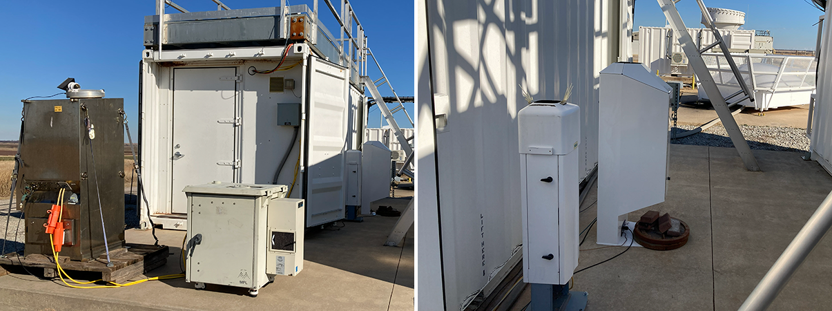
According to Collis, the intercomparison is particularly helpful in understanding how different lidar systems measure the planetary boundary layer, the turbulent zone where Earth’s surface interacts with the atmosphere. But that scope is expanding.
During the day, sunlight heats the surface, creating rising air currents that mix the lower atmosphere like water circulating in a boiling pot. At night, that mixing often weakens, allowing atmospheric layers to separate and stabilize. Understanding these transitions is important because they influence moisture transport, wind behavior, storm formation, and cloud development.
To evaluate lidar performance, researchers combine continuous remote sensing observations with sonde launches. The sondes are attached to weather balloons to measure atmospheric temperature, humidity, pressure, and wind speed and direction.
“The balloons are still the gold standard,” says Collis. “But they only give you snapshots in time. The lidars help fill the gaps between those snapshots.”
Researchers are targeting difficult weather conditions to test the instruments under stress. Smoke, dust, rain, and turbulent air all alter how laser signals scatter back toward a lidar receiver. Some systems are optimized to detect atmospheric motion, while others are more sensitive to particles or moisture.
“We’re looking for an absolute mess,” says Collis of storm-influenced conditions.
Building a Valuable Data Set
“I have a dream that by bringing this variety of instruments together, we’re going to see entirely new retrieval techniques that help us better understand the boundary layer.”
Scott Collis, lead of REAL-IOPs
The intercomparison highlights a growing interest in lidar data consistency within the scientific community. According to Theisen, researchers want to understand not only what an instrument measures but also how those measurements are processed and how algorithmic choices influence ARM data products. He notes that many ARM instruments have implemented processing chains and routines to produce data products, such as cloud base height or boundary-layer height.
Theisen says that all REAL data except for guest instrument data are currently available through ARM’s Data Discovery browser as part of ARM datastreams (access available lidar data). In addition, users will be able to access coordinated observations, specialized operational data, and curated case studies. ARM expects to release REAL data bundles in fiscal year 2027. Guest instrument data will not be included in those data bundles and will be made available six months after the REAL intercomparison ends.
Overview papers and case studies from the intercomparison are expected over the coming year. In the meantime, REAL participants are gaining a clearer understanding of each instrument’s relative strengths.
“I have a dream that by bringing this variety of instruments together, we’re going to see entirely new retrieval techniques that help us better understand the boundary layer,” says Collis.
Author: Mike Wasem, Staff Writer, Pacific Northwest National Laboratory
# # #ARM is a DOE Office of Science user facility operated by nine DOE national laboratories.

Follow Us:






Keep up with the Atmospheric Observer
Updates on ARM news, events, and opportunities delivered to your inbox
ARM User Profile
ARM welcomes users from all institutions and nations. A free ARM user account is needed to access ARM data.