An official website of the United States government





ARM Director Winds Down Impactful Career
Published: 20 July 2026
In his 3 decades with ARM, Jim Mather has advanced atmospheric science
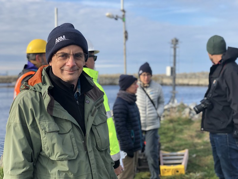
Jim Mather avoids raising his voice to command attention. Instead, he waits to have something important to say before he talks—a quality he has leaned into while serving as the director of the U.S. Department of Energy’s (DOE’s) Atmospheric Radiation Measurement (ARM) User Facility.
“If you want to know what Jim thinks, you have to ask him because he’s not just going to volunteer it,” says former ARM Chief Scientist Tom Ackerman, who has known Mather since he was a student at Pennsylvania State University. “But when he says something, you really want to listen because he’s thought it through and chewed it over.”
For nearly 20 years, Mather has overseen ARM’s strategic planning, day-to-day technical activities, budgeting, engineering development, contracting, property management, and interactions with the scientific community.
ARM and its users have been the longtime beneficiaries of Mather’s steady, insightful, and loyal leadership.
Except for two years teaching at a private liberal arts college in northern Wisconsin, Mather has spent his entire career with ARM. He plans to retire from ARM and Pacific Northwest National Laboratory (PNNL) in Washington state in the summer of 2026.
The Draw of Atmospheric Science
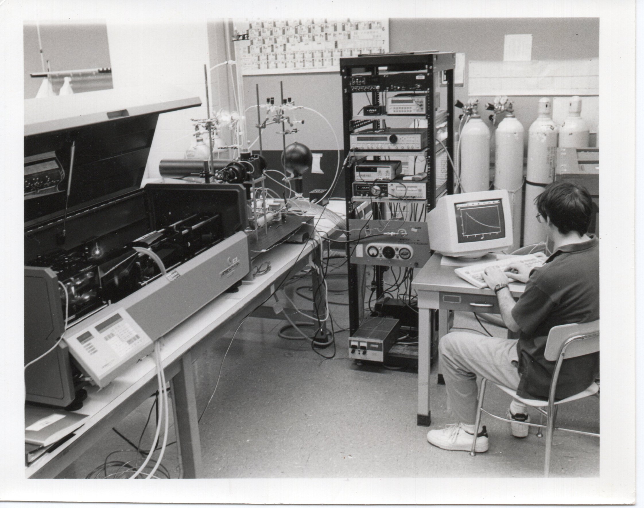
Mather’s journey to ARM and PNNL started on the opposite side of the United States.
He and his two siblings were raised in a small, wooded community about 15 miles outside Hershey, Pennsylvania. Their mother worked as a nursery school teacher, and their father was a psychologist.
During his childhood, there were a couple of clues that Mather might go into atmospheric science—a nudge from a fifth grade teacher to read a book about clouds, a career aptitude test in junior high that pegged his potential in geoscience—but he didn’t pick up on them at the time. “I grew up in the middle of nowhere, and I didn’t know anything, so I just thought, ‘I’m going to go into science and engineering. That’s what I’m going to do.’ And that’s all I knew.”
After graduating from high school, Mather headed to Penn State. He received his bachelor’s degree in electrical engineering in 1986, then entered a master’s program in physics, where he started to see a new career path for himself.
While studying fluids in one of his physics classes, he learned about applications related to atmospheric science and was intrigued.
Another huge influence was Ackerman, who was his professor for a course on radiative transfer.
Mather recalls that Ackerman sent one of his class projects to Carl Sagan, who co-wrote a landmark 1983 paper with Ackerman that described possible consequences of nuclear war on the planet. Sagan wrote a letter back to Ackerman that acknowledged Mather’s project.
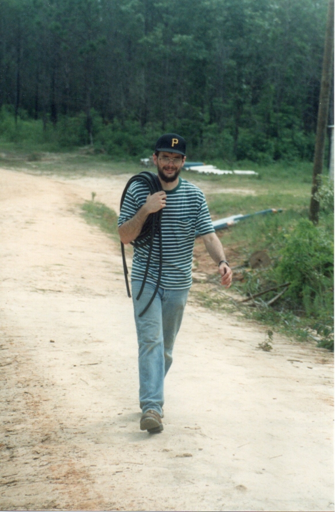
“I was like, ‘This is the career highlight for me to have this my first year in grad school,’ ” says Mather.
He decided to pursue a PhD in meteorology at a pivotal time in the field, which included the 1989 enactment of the Montreal Protocol to help protect the ozone layer and the 1990 publication of the Intergovernmental Panel on Climate Change First Assessment Report.
His PhD advisor was Bill Brune, a chemist who had recently joined the Penn State faculty from Harvard University. Mather analyzed data collected on NASA ER-2 flights during the 1987 Airborne Antarctic Ozone Experiment and helped build an instrument to measure tropospheric oxidants.
An ARM Connection Is Born
As he finished up his PhD studies, Mather heard about a new opportunity that piqued his interest.
Ackerman was going to lead the site science team for what would become ARM’s Tropical Western Pacific (TWP) atmospheric observatory. He needed a postdoctoral research associate to help him with the project.
ARM was in its infancy then, having started collecting data in Oklahoma in 1992.
Mather went to Ackerman to ask about the postdoc position, and the rest was ARM history. Mather started the job in January 1994.
His time at Penn State overlapped with others in the meteorology department who at one point or another also became part of the ARM fold. They included Bruce Albrecht, incoming ARM Director Larry Berg, Eugene Clothiaux, Mike Jensen, Chuck Long, Jay Mace, Roger Marchand, Mark Miller, Manajit Sengupta, Raymond Shaw, Mandy Thieman, Johannes Verlinde, and Andrew Vogelmann.
Los Alamos National Laboratory was responsible for managing the TWP, while Sandia National Laboratories led the development and testing of the atmospheric measurement stations that would operate in the region. Mather was tapped to assess preliminary data from the instruments and act as a liaison between the scientific and technical groups working on the project.
From Pennsylvania to the Tropics
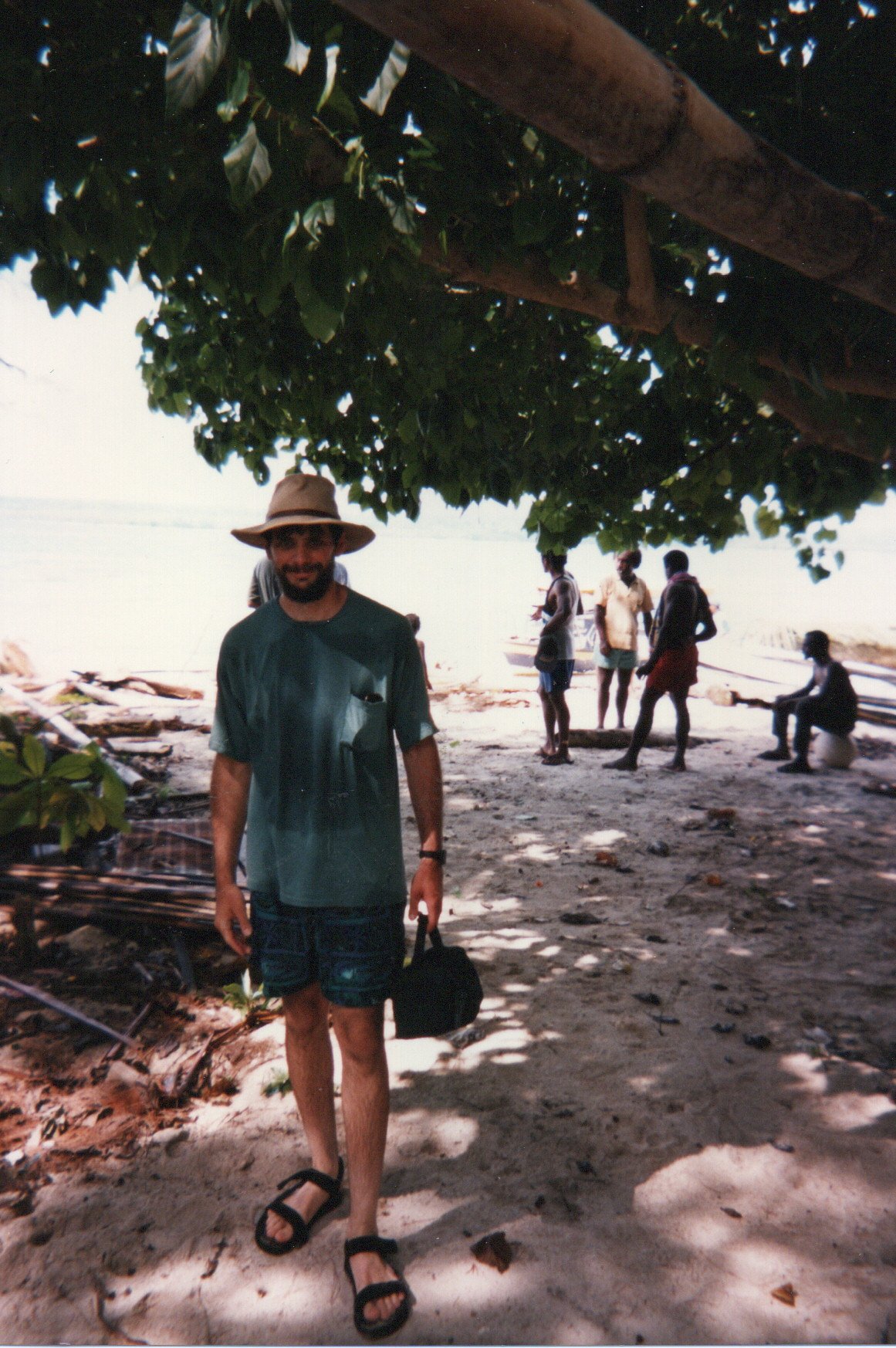
Mather went to Sandia in Albuquerque, New Mexico, for ARM meetings roughly every six weeks for about two years in the lead-up to installing the first TWP site on Manus Island, Papua New Guinea, in 1996. He had to learn about every ARM instrument, some of which he had never heard of before, so he could provide input on them.
“It was a great crash course in ARM, and not just the instruments, but also on the data side,” says Mather, who also traveled to Manus for the site installation.
Ackerman insists Mather deserves more credit for the implementation than he does.
“He does not let things go, and he doesn’t think they’ll get better if he lets them go,” says Ackerman. “He knows that they have to be fixed, and he will figure it out.”
In the 1990s, each ARM site had different ways of collecting data and checking their quality. Mather and Jensen, who was working toward his PhD at Penn State, created plots from the TWP data and reviewed them for possible issues.
“I have MATLAB codes that Jim wrote that I still dust off once in a while if I’m trying to make certain plots,” says Jensen, now a meteorologist at Brookhaven National Laboratory in New York.
While compressed TWP data came in each day via low-bandwidth satellite channels, it could take up to six months to get raw data shipments from the site.
“When we deployed it, it was really like leaving it on the moon,” says Mather.
A Brief Detour
As much as Mather enjoyed his job, he thought he would eventually go into teaching—and he did.
In 1999, not long after a new TWP site opened on Nauru Island, Mather left ARM and Penn State to teach physics and meteorology at Northland College in Ashland, Wisconsin.
Mather biked to his new job on a snowmobile trail. He and his family lived about a couple hundred yards from Lake Superior and saw the Northern Lights outside their back door.
Life in the Northwoods was idyllic. At the same time, Mather felt isolated and wondered if he could teach for the rest of his career. He kept in touch with his ARM and Penn State friends, including Ackerman, who went to PNNL and became ARM’s chief scientist around the time Mather left for Northland.
The lure of ARM pulled him back in. Mather joined Ackerman at PNNL and returned to the TWP site science team in 2001.
Papers, PARSL, and TWP-ICE
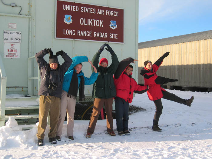
Mather’s body of publications includes research he conducted early in his time at PNNL. He analyzed ARM cloud remote sensing and atmospheric radiation measurements, mainly those from the TWP, which added a third site in 2002 in Darwin, Australia.
While publishing research and supporting TWP site science, Mather managed PNNL’s Atmospheric Remote Sensing Laboratory (PARSL), a predecessor to ARM’s current mobile facilities. PARSL consisted of instruments that measured the surface radiation budget and atmospheric state.
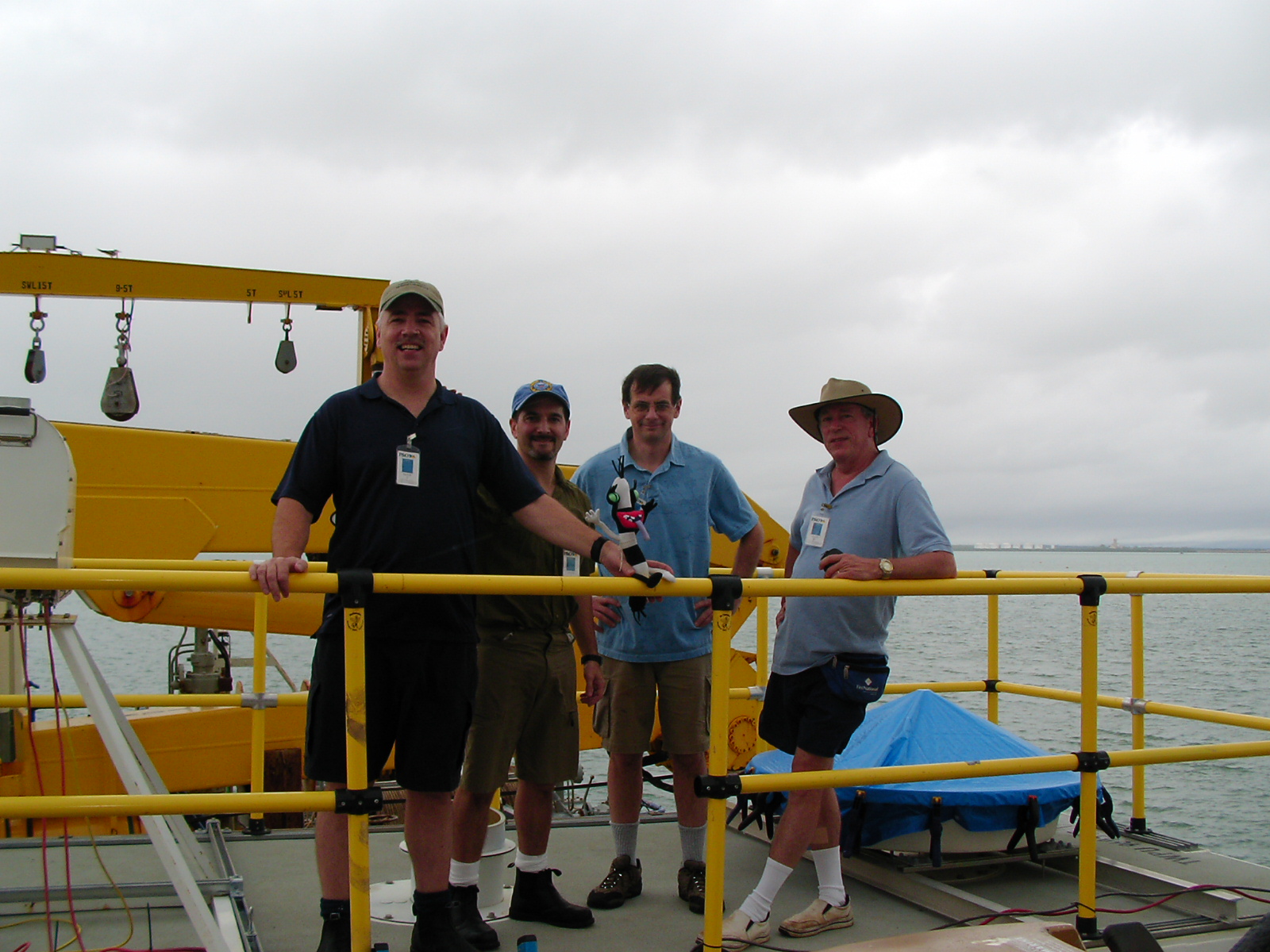
PARSL went on ARM deployments to Florida and Alaska before going to Australia for the 2006 Tropical Warm Pool – International Cloud Experiment (TWP-ICE). The field campaign sought to improve understanding of tropical convective cloud systems.
Mather served as ARM’s co-lead scientist for TWP-ICE, working with researchers from a variety of institutions, including the Australian Bureau of Meteorology, Commonwealth Scientific and Industrial Research Organisation, and NASA.
TWP-ICE was a complex campaign that brought together ground-, aircraft-, and ship-based measurements. It also involved the launch of 1,000 weather balloons at five sites over three weeks. While scouting the area around Darwin for potential launch sites, Mather saw crocodiles and took a charter flight to a remote peninsula with a dirt runway in the jungle.
Two decades later, Mather looks back fondly on TWP-ICE, which continues to have an impact on the scientific community. Data from the campaign remain available in the ARM Data Center, and ARM has recorded more than 130 journal articles tied to TWP-ICE.
“All phases of that, from the planning to the execution to the science, came out and were all very memorable, so that was awesome,” he says.
Major Changes
Around the time of TWP-ICE, DOE decided to establish an ARM program for aerial vehicles and awarded it to PNNL following a competitive proposal process in 2006.
Mather, who worked on PNNL’s proposal, was picked to be the program’s interim technical director.
“It was a stretch goal,” he says. “But everything had been a stretch goal all along.”
The program’s first major campaign was the Cloud LAnd Surface Interaction Campaign (CLASIC) in the summer of 2007. CLASIC required the coordination of nine aircraft to collect data around ARM’s Southern Great Plains atmospheric observatory.
While leading the aviation program and planning for CLASIC were large feats, an even bigger stretch goal was right around the corner.
In August 2007, Mather became ARM’s technical director, assuming responsibility for the user facility’s overall technical direction and operations.
“I think I had imagined that I could keep up doing the science,” he says. “And I did try for a while, but it was not in the cards.” He didn’t feel the same passion for research that he saw in his peers, and he thought he could contribute more by enabling the science.
When ARM’s chief scientist position went away around 2009, Mather took on a greater role in the user facility’s science direction. He began working with DOE and ARM leaders to establish and expand mechanisms such as workshops, webinars, and constituent groups to collect community input and then used that input to set ARM goals and priorities.
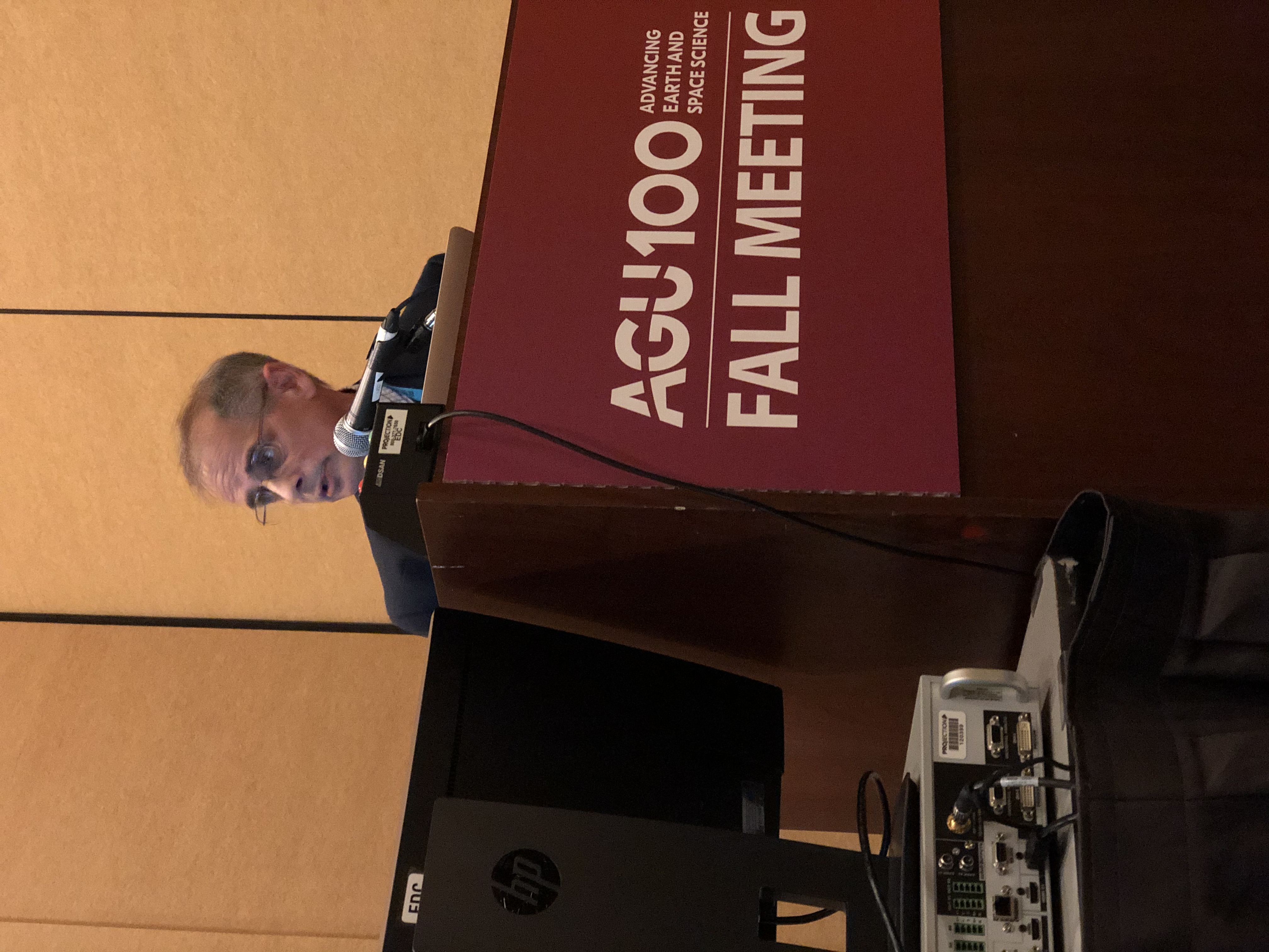
ARM now averages over 1,000 science users annually, a number undoubtedly influenced by Mather’s outreach and presentations at national and international scientific conferences and meetings. ARM’s publications database contains more than 5,000 journal articles, a large fraction of them informed by campaigns, data, and capabilities introduced during Mather’s time as director.
A Good Fit
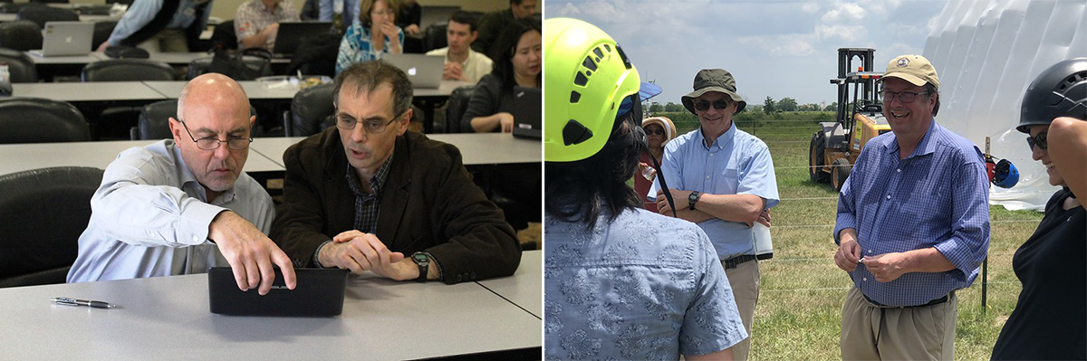
Mather’s engineering background, atmospheric science expertise, and analytical ability have helped him succeed in the role, says Jimmy Voyles, who was ARM’s technical director from 2002 to 2007. (ARM changed the technical director title to director in 2022.)
“ARM has so many moving parts; if you’re not paying attention and cognizant of all the pieces that are moving around and doing the appropriate analysis to keep it all connected together, you’re gonna screw up,” says Voyles. “And he’s really good at putting the pieces together and making the connections.”
Mather has a lot to track. He chairs ARM’s multi-laboratory Infrastructure Management Board, which works with DOE to manage the user facility. More than 300 ARM staff members are spread across nine DOE national labs as well as non-DOE labs and universities. ARM operates three fixed-location observatories, three mobile observatories, and a variety of instrumented aerial platforms while managing high performance computing resources, modeling capabilities, and more than 8 petabytes of atmospheric data.
To stay on top of everything happening around the user facility, Mather frequently engages with leaders across ARM’s functional areas. Meanwhile, he says, the creation of constituent groups has been helpful for understanding perspectives of different sectors of the user community. These groups give important feedback on how ARM can best support its users and increase its scientific impact.
“One thing I find about him is he listens to everybody,” says Jensen, who currently chairs ARM’s User Executive Committee. “He is very open to receive input, wants to get that from everybody he can, especially diverse interests and people who are driven by the science rather than their own special interests.”
In the Director’s Seat
Mather has steered ARM through changes big and small.
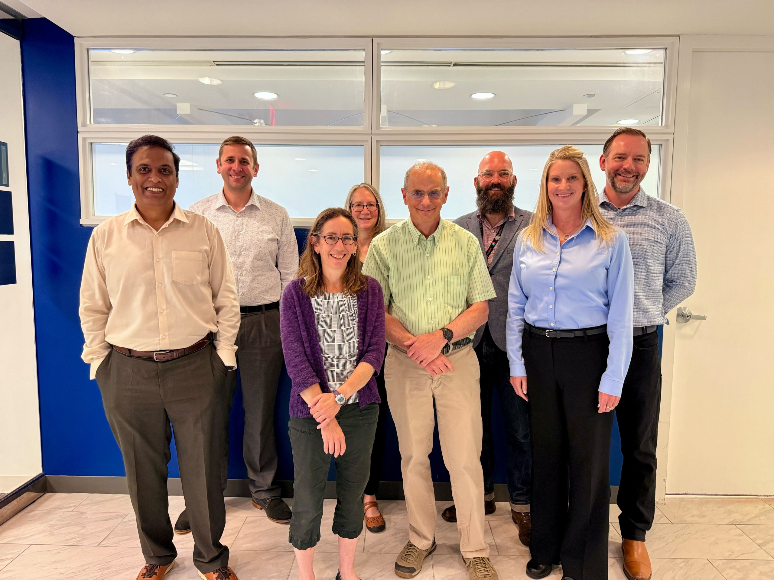
One of the biggest challenges and opportunities during his tenure was the American Recovery and Reinvestment Act of 2009, which provided ARM with $60 million in capital. Nearly 150 new and upgraded instruments were installed and made operational in a year and a half. ARM expanded its aerosol sampling and aerial instrumentation while enhancing sites with new radars and energy flux measurement capabilities.
After developing new sites in Alaska and the Azores island chain in the eastern Atlantic Ocean to support DOE priorities, ARM ended TWP operations in 2014.
Mather led ARM through multiple successful triennial reviews convened by DOE to evaluate the user facility’s effectiveness in science, operations, and management. He also wrote two decadal vision documents, outlining how ARM planned to tackle increasingly complex science challenges related to its mission over the next five to 10 years.
Goals in the 2014 decadal vision included setting up the Eastern North Atlantic observatory in the Azores, directing the use of ARM’s mobile facilities to support DOE high-priority science, and establishing the Large-Eddy Simulation (LES) ARM Symbiotic Simulation and Observation (LASSO) activity. LASSO ties together ARM observations and high-resolution simulations to support model development and process studies.
The vision also discussed the implementation of new aerial platforms such as uncrewed aerial systems and tethered balloon systems.
“All that was coming out of this idea of more spatial measurements, better linking to modeling,” says Mather.
He has been working on a midterm update of the 2020 decadal vision, addressing the growth of artificial intelligence usage across ARM and the scientific community.
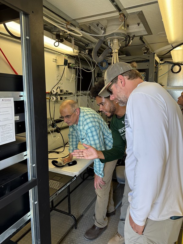
At a June 2026 budget meeting, DOE ARM Program Manager Sally McFarlane gave Mather a certificate from DOE’s Office of Science recognizing his three decades of service to ARM. The certificate citation ends with this sentence: “His legacy of innovation and dedication has profoundly shaped the ARM Facility and advanced atmospheric science.”
Future Directions
While focused on his ARM duties, including preparing Berg to take over as the director toward the end of July, Mather has given some thought to what he wants to do when he retires. He has played the guitar for 45 years, but the job hasn’t left much time for it, so he’s eager to get back to performing in musical ensembles. Reading, writing, and running also make his list.
Most of all, he looks forward to spending more time with his wife, Martha, and their two adult sons.
“He’s extraordinarily conscientious,” says Ackerman. “And so, he needs Martha once in a while to tell him that it’s time to take a vacation.”
In July after the Joint ARM User Facility/Atmospheric System Research (ASR) Principal Investigators Meeting, Mather will head to Santa Fe, New Mexico, for a brief respite before wrapping up at PNNL.
“One thing that I’ve reflected on, there’s so many things that need to be done and a lot of people to do them,” says Mather, who thinks he has gotten “marginally better” at delegating over the years. “I guess I see the director’s job is to make sure everything is done, and I’ll do my part where I think I’m the appropriate person to do that.”
He has done that for ARM and then some.
Author: Katie Dorsey, Staff Writer, Pacific Northwest National Laboratory
# # #ARM is a DOE Office of Science user facility operated by nine DOE national laboratories.

Follow Us:






Keep up with the Atmospheric Observer
Updates on ARM news, events, and opportunities delivered to your inbox
ARM User Profile
ARM welcomes users from all institutions and nations. A free ARM user account is needed to access ARM data.