

Significant Mountain-driven Snowfall Missed by National Weather Radars
Submitter
Hickmon, Nicki — Argonne National Laboratory
Area of Research
Cloud Processes
Journal Reference
Jackson R, J O’Brien, M Grover, Z Sherman, S Collis, B Raut, M Tuftedal, A Theisen, D Feldman, W Rudisill, and V Chandrasekar. 2025. "Surface Quantitative Precipitation Estimates (SQUIRE) of snow water equivalent from the Surface Atmospheric Integrated Laboratory." Journal of Atmospheric and Oceanic Technology, 10.1175/JTECH-D-25-0023.1. ONLINE.
Science
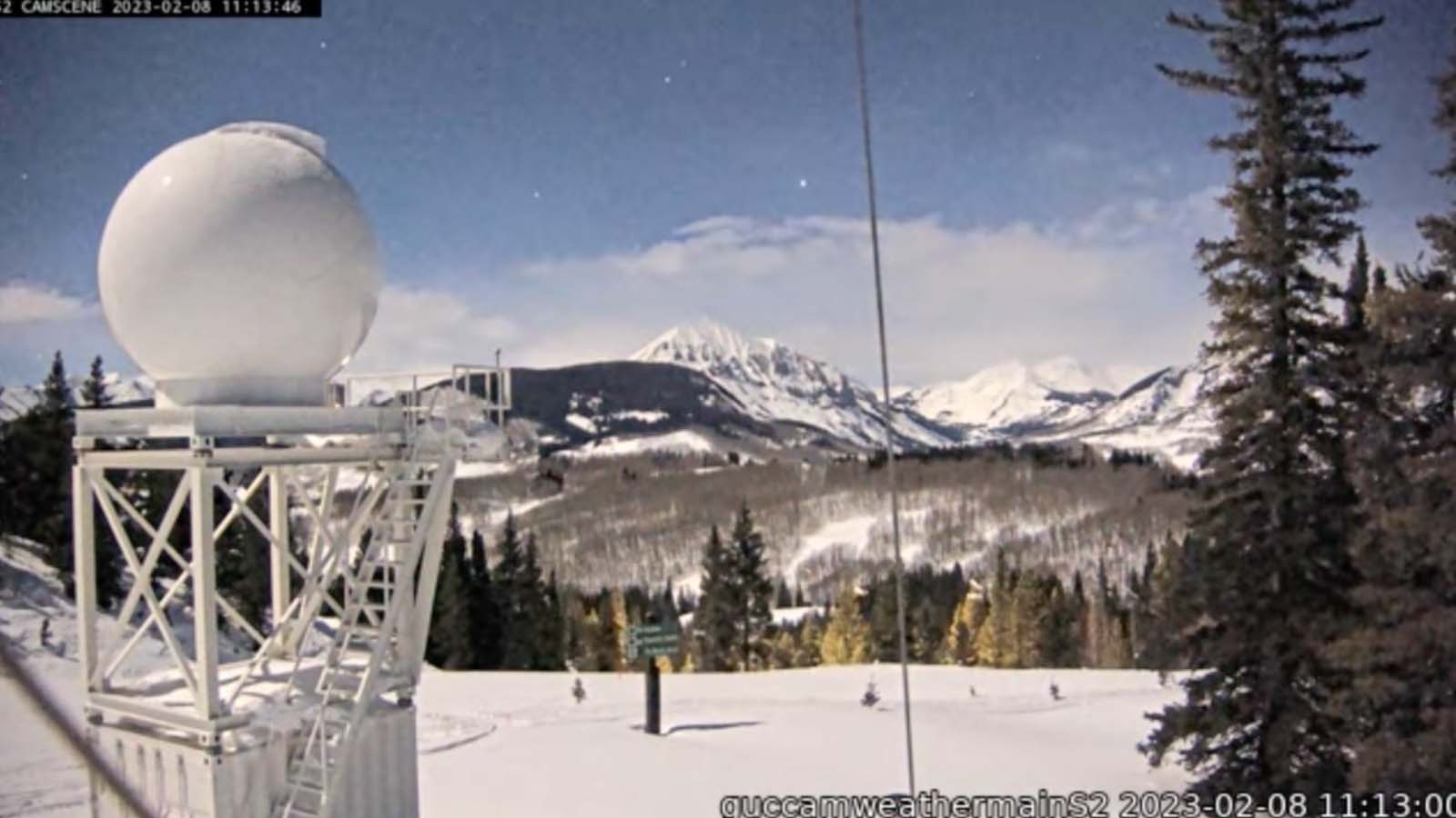
Caption: The Upper Colorado River Basin (UCRB) is the source of water for 40 million people in the Southwestern United States. The DOE ARM Facility deployed the ARM Mobile Facility along with a research weather radar to provide better snowfall estimates in the UCRB. (Image by the US DOE Atmospheric Radiation Measurement Facility.)
Snow and ice accumulation, called snowpack, act as the nation’s largest natural water reservoir. Snow in the Rocky Mountains supplies rivers that flow to both sides of the Continental Divide, providing both drinking water and water for irrigation. The Upper Colorado River Basin (UCRB) provides water for 40 million people, so knowing how much snow is stored and understanding the processes that increase and degrade snowpack is vital. The Atmospheric Radiation Measurement (ARM) User Facility, working with Colorado State University, deployed a high-resolution weather radar to the ARM User Facility’s Surface Atmosphere Integrated Laboratory (SAIL) site near Mount Crested Butte to build better maps of snow water and mountain snowfall patterns. Researchers developed a gridded Surface QUantitative pRecipitation Estimates (SQUIRE) product from the radar observations. They used different methods to show the range of possible outcomes as snow is difficult to measure and can affect radar signals in many ways. This approach helps communicate the remaining uncertainty to the many groups who will rely on these snowfall maps.
Impact
The study’s results show that the national weather radar system can miss up to 16 feet (5 meters) of mountain-driven snowfall in the UCRB during one winter season. This mountain-driven snowfall finding can improve water predictions for the Southwest United States. In addition to better predictions, the new snow water maps also support studies of mountain ecosystems across many fields.
Summary
The UCRB is the primary source of water for 40 million people. Therefore, knowing how much snow water is available in the UCRB is crucial for predicting water availability in communities throughout the Southwestern United States. There is a lack of measurements of the amount of snow that falls in mountain regions. To get an accurate picture of the distribution of snow in the UCRB, ARM deployed an ARM Mobile Facility and Colorado State University's high-resolution radar to obtain better snowfall measurements during the SAIL project. Researchers developed snowfall maps from the radar measurements for two winters during SAIL. These snowfall maps, validated using in situ snow measurements including manually collected snow cores, show that up to 16 feet of snow over a winter can be missed by the national radar network. In addition, the snowfall maps show that there needs to be further study of how mountains drive the snowfall in the UCRB to better predict water availability in the Southwest United States.
Follow Us:


Keep up with the Atmospheric Observer
Updates on ARM news, events, and opportunities delivered to your inbox
ARM User Profile
ARM welcomes users from all institutions and nations. A free ARM user account is needed to access ARM data.


