

Evaluating Satellite and Ground-Based Measurements of Earth’s Radiation
Submitter
Feng, Yan — Argonne National Laboratory
Area of Research
Radiation Processes
Journal Reference
Mitra A, V Ghate, and D Rutan. 2025. "Comparison of CERES SYN1deg Radiative Fluxes with Those Derived from Observations at The ARM ENA Site." Journal of Climate, 10.1175/JCLI-D-24-0633.1.
Science
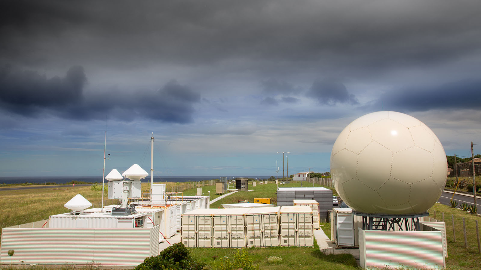
The DOE ARM Eastern North Atlantic site. (Image courtesy of the U.S. Department of Energy Atmospheric Radiation Measurement (ARM) user facility.)
Earth’s radiant energy budget represents the balance between the energy Earth receives from the sun and the energy Earth sends back into space. The radiant energy budget drives planetary dynamics, thermodynamics, and the water cycle. Researchers often use satellite data to estimate how much sunlight and heat move through the atmosphere. In this study, researchers compared radiative flux estimates calculated from satellite data and those calculated from ground-based sensors at the U.S. Department of Energy Atmospheric Radiation Measurement (ARM) User Facility's Eastern North Atlantic (ENA) site. They found that satellite measurements overestimate surface downwelling fluxes. On the other hand, fluxes based on observed cloud and thermodynamic data from ground-based sensors showed no such bias. The overestimation of satellite fluxes was attributed to inaccuracies in variables like temperature and cloud properties within the retrieval algorithm.
Impact
These findings will help reduce uncertainty in satellite estimates of radiative flux. They will also improve radiative transfer calculations. Accurate radiation data are key for studying the Earth’s radiation balance. Accurate data are also necessary for evaluating and improving earth system models.
Summary
This paper evaluates radiative fluxes retrieved from the satellite measurements using those simulated from high-resolution ground-based observations at the ARM ENA site (referred to as “ENARad”). Researchers developed the ENARad data set through the Rapid Radiative Transfer Model (RRTM) with a comprehensive set of sensors—including radars, lidars, radiometers, and radiosondes. Their analysis showed that satellite measurements tend to overestimate surface shortwave downwelling and longwave fluxes, although its top-of-atmosphere estimates are robust during satellite overpass hours. On the contrary, the ENARad radiative fluxes exhibited no bias compared to the observed fluxes at the surface and the top of the atmosphere. The biases in the satellite data product are traced to inaccuracies in the moisture and temperature profiles and low cloud characteristics by the satellite algorithm. By highlighting these discrepancies, the study offers clear paths to improve satellite-derived radiative flux estimates, which are essential for constraining energy budgets in earth system models and guiding future improvements in radiative transfer simulations.
Follow Us:


Keep up with the Atmospheric Observer
Updates on ARM news, events, and opportunities delivered to your inbox
ARM User Profile
ARM welcomes users from all institutions and nations. A free ARM user account is needed to access ARM data.


