

Power Your Research with ARM
The U.S. Department of Energy’s Atmospheric Radiation Measurement (ARM) User Facility provides 30-plus years of atmospheric measurements, including data sets from all seven continents and five oceans, to advance the understanding of the Earth’s atmosphere.
Access ARM Data
ARM collects continuous measurements and develops data products that promote the advancement of earth system models.
New to ARM?
As a U.S. Department of Energy Office of Science user facility, ARM makes its data freely available to scientists around the world.
Use ARM Facilities for Your Research
Desert-Urban SysTem IntegratEd AtmospherIc Monsoon
1 June 2026 - 30 September 2027 View All CampaignsExplore the ARM Observatories
Discover ARM's Capabilities

Read the Latest from ARM
Features
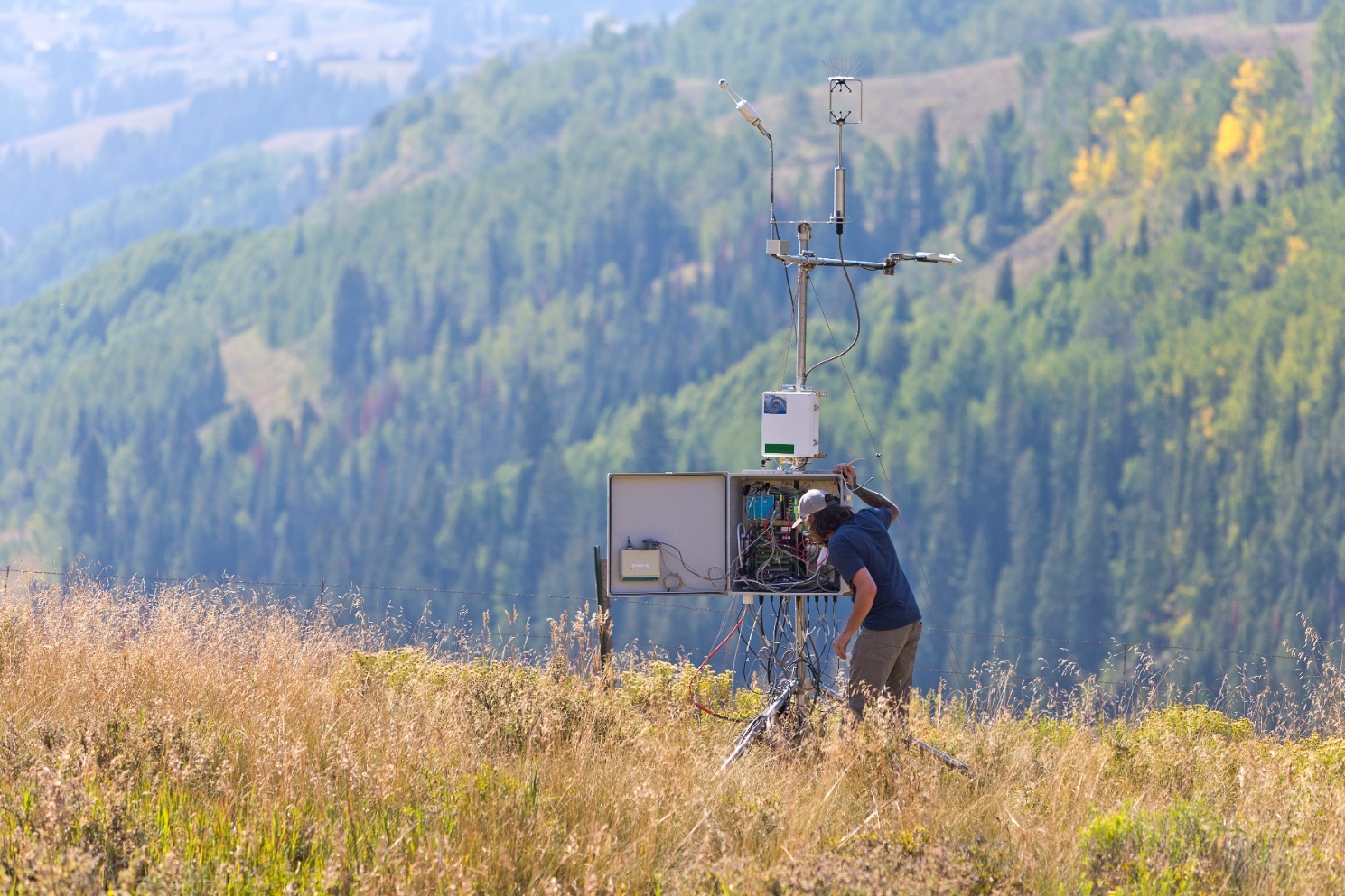
Bankhead National Forest After 1 Year: From Vision to Reality
Learn how ARM’s newest atmospheric observatory grew in capabilities, scope, and data during its first year of operations in northern Alabama.
Remembering Ken Kehoe of the ARM Data Quality Office
Kehoe, the associate manager of the ARM Data Quality Office, passed away August 13, 2025, at age 48.
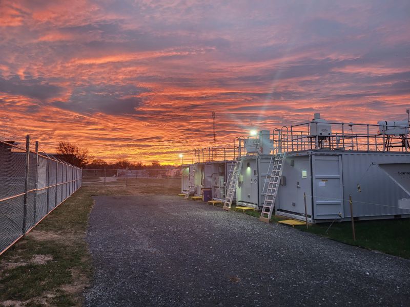
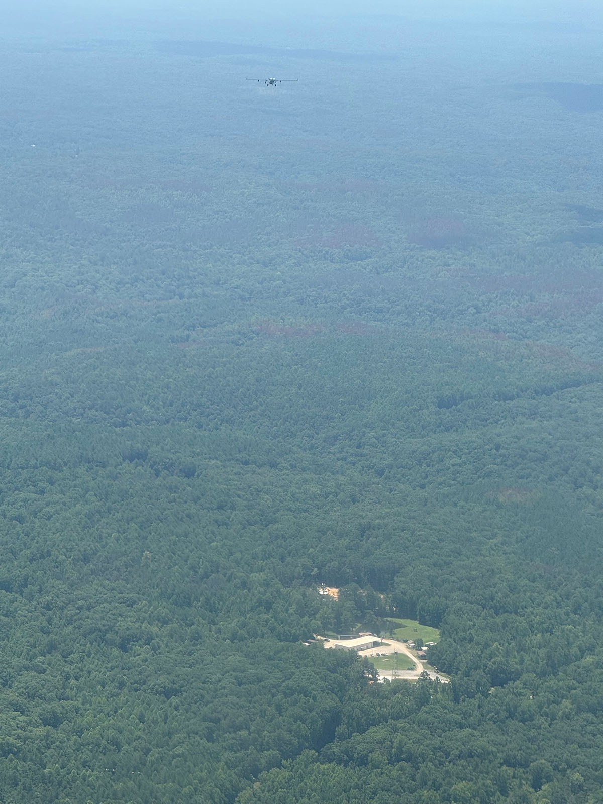
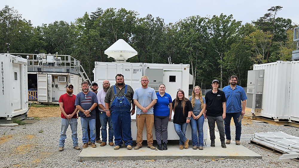
Bankhead National Forest Observations Are Reaching Full Speed
Continuous data and measurements from recent intensive operations, including ArcticShark uncrewed aerial system flights, are available from ARM’s atmospheric observatory in Alabama.
Data Announcements
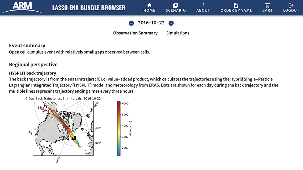
Check Out New LASSO-ENA Simulations and Web Tools
William Gustafson, who leads the Large-Eddy Simulation (LES) ARM Symbiotic Simulation and Observation (LASSO) activity, shares how you can access what is now available for the new Eastern North Atlantic (ENA) shallow marine cloud scenario.
Enhanced Cloud Microphysics Data Released to Production
Production data are now available from the Improved Continuous Baseline Microphysical Retrieval (MICROBASE) product with uncertainty estimation, previously known as MICROBASEKAPLUS.
First Characterized, Corrected Data Available From Fixed-Site KAZRs
ARM has released its first set of characterized and corrected Ka-Band ARM Zenith Radar (KAZR) data from the Eastern North Atlantic, North Slope of Alaska, and Southern Great Plains atmospheric observatories.
Research Highlights
Complex Summer Aerosol Regimes and Sources in Houston, Texas
Collaborative capabilities were designed to enable unique measurements of aerosol optical properties, water uptake, cloud formation potential, and chemical composition to understand how sources, aging and mixing affect energy within earth systems. Three aerosol regimes were probed in depth during a summer campaign in Houston, Texas: urban, particle growth, and dust.
Classifying Thermodynamic Cloud Phase Using Machine Learning Models
The ARM Thermodynamic Cloud Phase (THERMOCLDPHASE) value-added product (VAP) applies a multi-sensor approach to classify thermodynamic cloud phase by integrating lidar backscatter and depolarization, radar reflectivity, Doppler velocity, spectral width, microwave radiometer-derived liquid water path, and radiosonde temperature measurements. Cloud Hydrometeors are classified into seven phase categories including: liquid, drizzle, liquid + drizzle (liq_driz), rain, ice, snow, and mixed-phase. In this study, we evaluated a machine learning (ML) method for thermodynamic cloud phase classification, trained on three years of THERMOCLDPHASE VAP observations.
A New Machine Learning Retrieval of Liquid Water Path Optimized for Mixed-Phase Cold-Air Outbreaks
Cold-air outbreaks over high-latitude oceans typically include mixed-phase clouds and precipitation—in particular supercooled liquid clouds that support snow and graupel through ice growth processes. Here, we present a machine learning approach to retrieve liquid water path (LWP) using passive microwave measurements combined with vertically integrated radar reflectivities. The approach is an extension of Cadeddu et al. (2009), with the novel addition of radar reflectivity. The machine learning models are trained using the Passive and Active Microwave Radiative Transfer (PAMTRA) code applied to output from numerical simulations of three independent cold-air outbreaks sampled during the Cold-Air Outbreaks in the Marine Boundary Layer Experiment (COMBLE) campaign. Brightness temperatures corresponding to the four sidebands of an upward-looking G-band (183 GHz) vapor radiometer, along with the vertically integrated reflectivity from a zenith-pointing 95-GHz Wyoming Cloud Radar, are simulated from the perspective of a near-surface aircraft track. The radar reflectivity helps discriminate the snow contribution to the brightness temperatures. The machine learning models are thereafter tested on a simulation of an independent cold-air outbreak during COMBLE and against measurements from the U.S. Department of Energy (DOE) Atmospheric Radiation Measurement (ARM) North Slope of Alaska (NSA) observatory. This machine learning approach is shown to provide robust, computationally efficient, near-real-time measurements of LWP and water vapor path during the Cold-Air Outbreak Experiment in the Sub-Arctic Region (CAESAR) campaign in February-April 2024.
Follow Us:


Keep up with the Atmospheric Observer
Updates on ARM news, events, and opportunities delivered to your inbox
ARM User Profile
ARM welcomes users from all institutions and nations. A free ARM user account is needed to access ARM data.


