

S4
BNF - Bankhead National Forest, AL, AMF3 (for SACR near Main Site)
Established
1 October 2024
Latitude
34.464279°
N
Longitude
87.236001°
W
Altitude
197 meters
Surface Type
Awaiting Information
Instruments
3 (3
active)
Primary Measurement Types
10 (10 active)
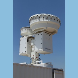
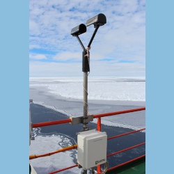
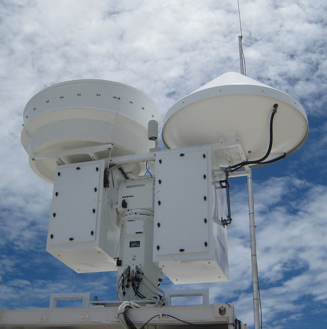
Instruments deployed at BNF - Bankhead National Forest, AL, AMF3 (for SACR near Main Site)
Primary Measurements collected at BNF - Bankhead National Forest, AL, AMF3 (for SACR near Main Site)
Hydrometeor Size Distribution
Browse DataHydrometeor fall velocity
Browse DataHydrometeor size
Browse DataLiquid water content
Browse DataPrecipitation
Browse DataRadar Doppler
Browse DataRadar polarization
Browse DataRadar reflectivity
Browse DataSnow depth
Browse DataVisibility
Browse DataFollow Us:


Keep up with the Atmospheric Observer
Updates on ARM news, events, and opportunities delivered to your inbox
ARM User Profile
ARM welcomes users from all institutions and nations. A free ARM user account is needed to access ARM data.


Atmospheric Radiation Measurement (ARM) | Reviewed
March 2025