

S40
BNF - Bankhead National Forest, AL, Supplemental facility at Double Springs
Established
1 October 2024
Latitude
34.178796°
N
Longitude
87.453905°
W
Altitude
236 meters
Surface Type
Awaiting Information
Instruments
13 (11
active)
Primary Measurement Types
33 (32 active)
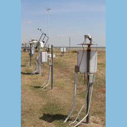
Instruments deployed at BNF - Bankhead National Forest, AL, Supplemental facility at Double Springs

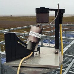
gndrad
Ground Radiometers on Stand for Upwelling Radiation
2024-10-01 — Currently Deployed
Browse Data
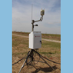
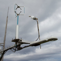
sirs
Solar and Infrared Radiation Station for Downwelling and Upwelling Radiation
2024-10-01 — Currently Deployed
Browse Data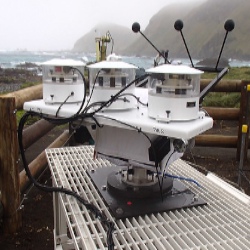
skyrad
Sky Radiometers on Stand for Downwelling Radiation
2024-10-01 — Currently Deployed
Browse Data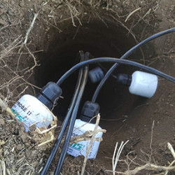
Primary Measurements collected at BNF - Bankhead National Forest, AL, Supplemental facility at Double Springs
Atmospheric moisture
Browse DataAtmospheric pressure
Browse DataAtmospheric temperature
Browse DataAtmospheric turbulence
Browse DataBackscattered radiation
Browse DataCarbon dioxide (CO2) flux
Browse DataHorizontal wind
Browse DataLatent heat flux
Browse DataLidar Doppler
Browse DataLiquid water path
Browse DataLongwave broadband downwelling irradiance
Browse DataLongwave broadband upwelling irradiance
Browse DataLongwave narrowband brightness temperature
Browse DataLongwave spectral brightness temperature
Browse DataLongwave spectral radiance
Browse DataMicrowave narrowband brightness temperature
Browse DataNet broadband total irradiance
Browse DataPrecipitable water
Browse DataPrecipitation
Browse DataSensible heat flux
Browse DataShortwave broadband diffuse downwelling irradiance
Browse DataShortwave broadband direct normal irradiance
Browse DataShortwave broadband total downwelling irradiance
Browse DataShortwave broadband total upwelling irradiance
Browse DataShortwave narrowband diffuse downwelling irradiance
Browse DataShortwave narrowband direct normal irradiance
Browse DataShortwave narrowband total downwelling irradiance
Browse DataSoil heat flux
Browse DataSoil moisture
Browse DataSoil temperature
Browse DataSurface energy balance
Browse DataVertical velocity
Browse DataVisibility
Browse DataFollow Us:


Keep up with the Atmospheric Observer
Updates on ARM news, events, and opportunities delivered to your inbox
ARM User Profile
ARM welcomes users from all institutions and nations. A free ARM user account is needed to access ARM data.


Atmospheric Radiation Measurement (ARM) | Reviewed
March 2025