

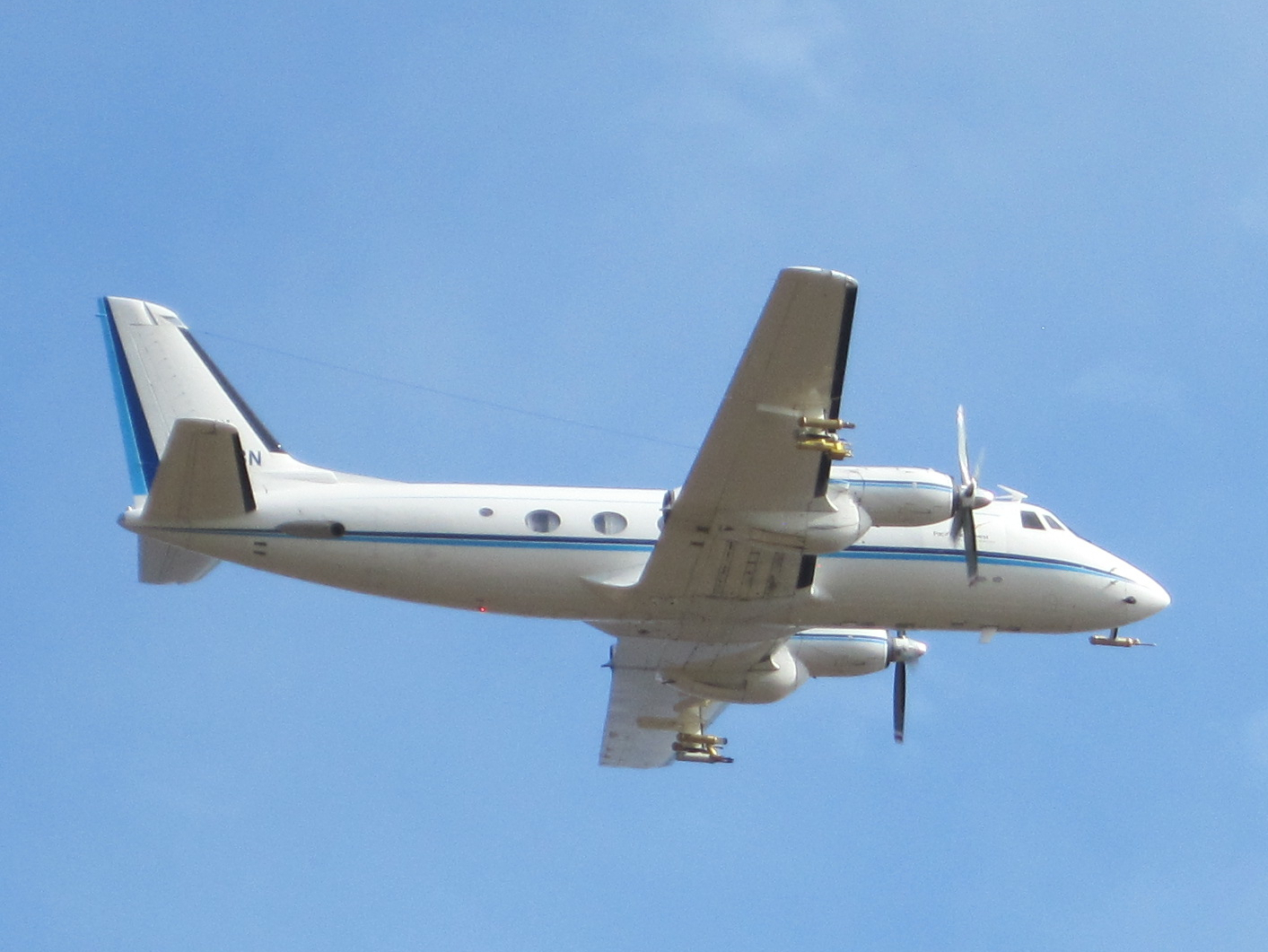
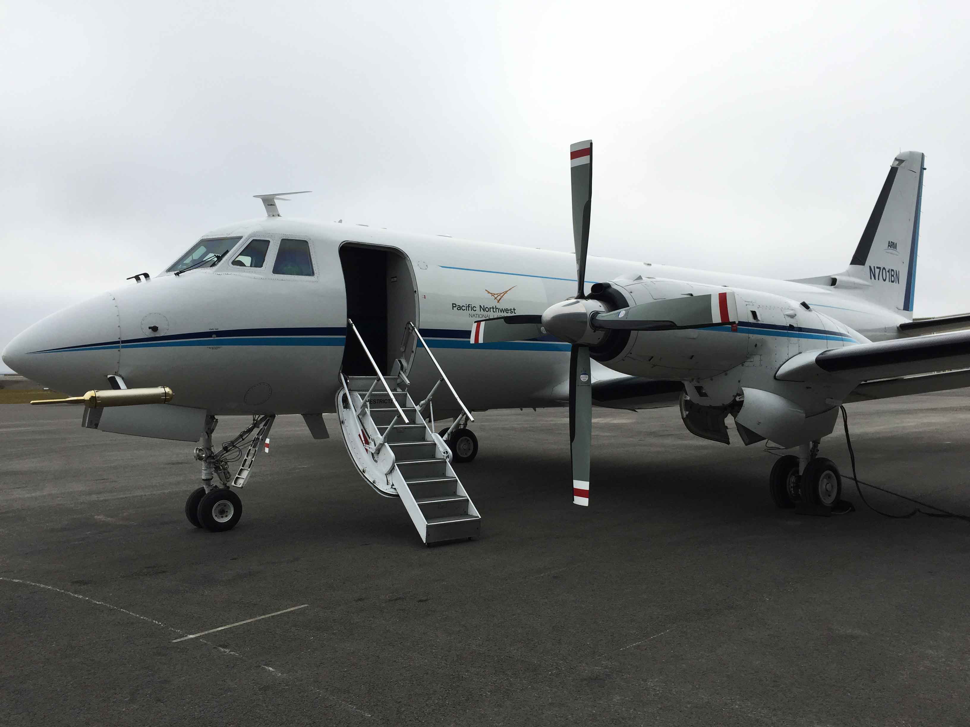
F1
ENA - Eastern North Atlantic; Gulfstream 159 Aircraft
Click to enlarge images.
 |
 |
 |
 |
Instruments deployed at ENA - Eastern North Atlantic; Gulfstream 159 Aircraft

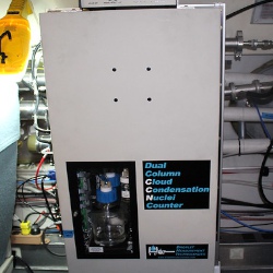
ccn-air
Cloud Condensation Nuclei Particle Counter aboard Aircraft
2017-06-21 — 2018-02-19
Browse Data


hrtofams-air
High-Resolution Time-of-Flight Aerosol Mass Spectrometer aboard aircraft
2017-06-21 — 2018-02-19
Browse Data


nav-air
Navigational Location, Motion, and Attitude for Airborne Platforms
2017-06-20 — 2018-02-19
Browse Data
nephelometer-air
3-Wavelength integrating nephelometer aboard aircraft
2017-06-21 — 2018-02-19
Browse Data

No instruments currently active
Primary Measurements collected at ENA - Eastern North Atlantic; Gulfstream 159 Aircraft
Aerosol absorption
Browse DataAerosol backscattered radiation
Browse DataAerosol concentration
Browse DataAerosol particle size distribution
Browse DataAerosol scattering
Browse DataAtmospheric moisture
Browse DataAtmospheric pressure
Browse DataAtmospheric temperature
Browse DataAtmospheric turbulence
Browse DataCloud condensation nuclei
Browse DataCloud particle size distribution
Browse DataHorizontal wind
Browse DataInorganic chemical composition
Browse DataNavigation variables
Browse DataOrganic Material Concentration
Browse DataVertical velocity
Browse DataNo measurements currently active
Follow Us:


Keep up with the Atmospheric Observer
Updates on ARM news, events, and opportunities delivered to your inbox
ARM User Profile
ARM welcomes users from all institutions and nations. A free ARM user account is needed to access ARM data.


