

M1
BNF - Bankhead National Forest, AL, AMF3 (Main Site)
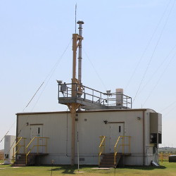
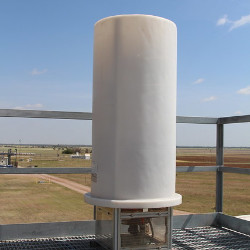
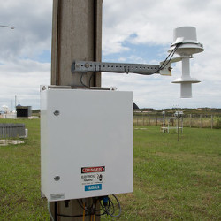
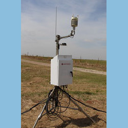
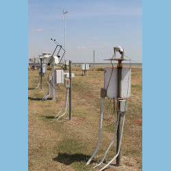
A site near Moulton, Alabama, will house the core instrumentation of the Bankhead National Forest (BNF) atmospheric observatory and will be the center of operations for BNF fieldwork. Because of its extensive collection of in situ and ground-based remote-sensing instruments, it will be an ideal site for major collaborative field projects.
The state-of-the-art instrumentation of the ARM Mobile Facility at the BNF main site will be augmented by balloon-borne atmospheric profiling, surface radiation measurements, and surface latent and sensible heat flux measurements.
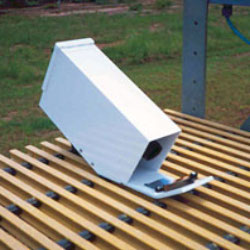
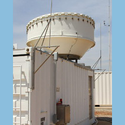
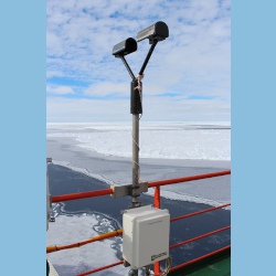
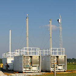
Instruments deployed at BNF - Bankhead National Forest, AL, AMF3 (Main Site)
aosmet
Meteorological Measurements associated with the Aerosol Observing System
2024-10-02 — Currently Deployed
Browse Data


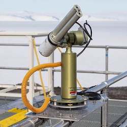
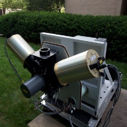
gndrad
Ground Radiometers on Stand for Upwelling Radiation
2024-10-01 — Currently Deployed
Browse Data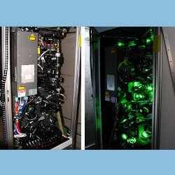


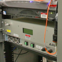
monitorinst
sensors for providing instrument system monitoring
2024-09-03 — Currently Deployed
Browse Data


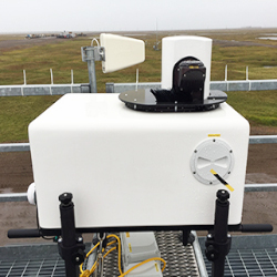
sirs
Solar and Infrared Radiation Station for Downwelling and Upwelling Radiation
2024-10-01 — Currently Deployed
Browse Data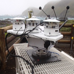
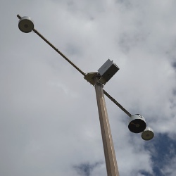
skyrad
Sky Radiometers on Stand for Downwelling Radiation
2024-10-01 — Currently Deployed
Browse Data


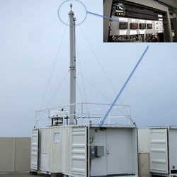
tbscpc
Condensation Particle Counter aboard Tethered Balloon System
2025-03-21 — Currently Deployed
Browse Data
tbsdts
Distributed Temperature Sensing aboard Tethered Balloon System
2025-03-21 — 2026-05-17
Browse Data

tbsins
Ice Nucleation Spectrometer for INP measurements aboard Tethered Balloon System
2025-03-21 — 2025-06-15
Browse Data

tbspops
Portable Optical Particle Spectrometer aboard Tethered Balloon System
2025-03-21 — Currently Deployed
Browse Data
Primary Measurements collected at BNF - Bankhead National Forest, AL, AMF3 (Main Site)
Aerosol backscattered radiation
Browse DataAerosol concentration
Browse DataAerosol extinction
Browse DataAerosol optical depth
Browse DataAerosol optical properties
Browse DataAerosol particle size
Browse DataAerosol particle size distribution
Browse DataAtmospheric moisture
Browse DataAtmospheric pressure
Browse DataAtmospheric temperature
Browse DataBackscatter depolarization ratio
Browse DataBackscattered radiation
Browse DataBlack carbon concentration
Browse DataCarbon monoxide (CO) Concentration
Browse DataCloud base height
Browse DataCloud condensation nuclei
Browse DataCloud fraction
Browse DataCloud location
Browse DataHorizontal wind
Browse DataHydrometeor Geometry
Browse DataHydrometeor Size Distribution
Browse DataHydrometeor fall velocity
Browse DataHydrometeor size
Browse DataHygroscopic growth
Browse DataIce Nucleating Particle (INP) Concentration
Browse DataInorganic chemical composition
Browse DataInstrument monitoring non-geophysical variables
Browse DataLidar Doppler
Browse DataLidar polarization
Browse DataLiquid water content
Browse DataLiquid water path
Browse DataLongwave broadband downwelling irradiance
Browse DataLongwave broadband upwelling irradiance
Browse DataLongwave narrowband brightness temperature
Browse DataLongwave spectral brightness temperature
Browse DataLongwave spectral radiance
Browse DataMicrowave narrowband brightness temperature
Browse DataNavigation variables
Browse DataNitrogen oxides
Browse DataOrganic Material Concentration
Browse DataOzone Concentration
Browse DataPlanetary boundary layer height
Browse DataPrecipitable water
Browse DataPrecipitation
Browse DataRadar Doppler
Browse DataRadar polarization
Browse DataRadar reflectivity
Browse DataShortwave broadband diffuse downwelling irradiance
Browse DataShortwave broadband direct normal irradiance
Browse DataShortwave broadband total downwelling irradiance
Browse DataShortwave broadband total upwelling irradiance
Browse DataShortwave narrowband diffuse downwelling irradiance
Browse DataShortwave narrowband direct normal irradiance
Browse DataShortwave narrowband radiance
Browse DataShortwave narrowband total downwelling irradiance
Browse DataShortwave spectral radiance
Browse DataSnow depth
Browse DataSulfur Dioxide (SO2) Concentration
Browse DataVertical velocity
Browse DataVisibility
Browse DataFollow Us:


Keep up with the Atmospheric Observer
Updates on ARM news, events, and opportunities delivered to your inbox
ARM User Profile
ARM welcomes users from all institutions and nations. A free ARM user account is needed to access ARM data.


