

E13
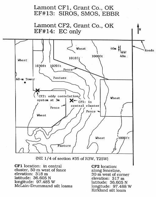
SGP - Lamont, OK (Extended and Co-located with C1)
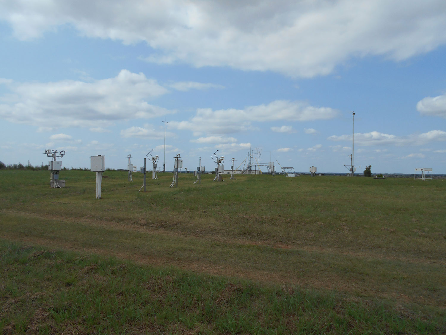
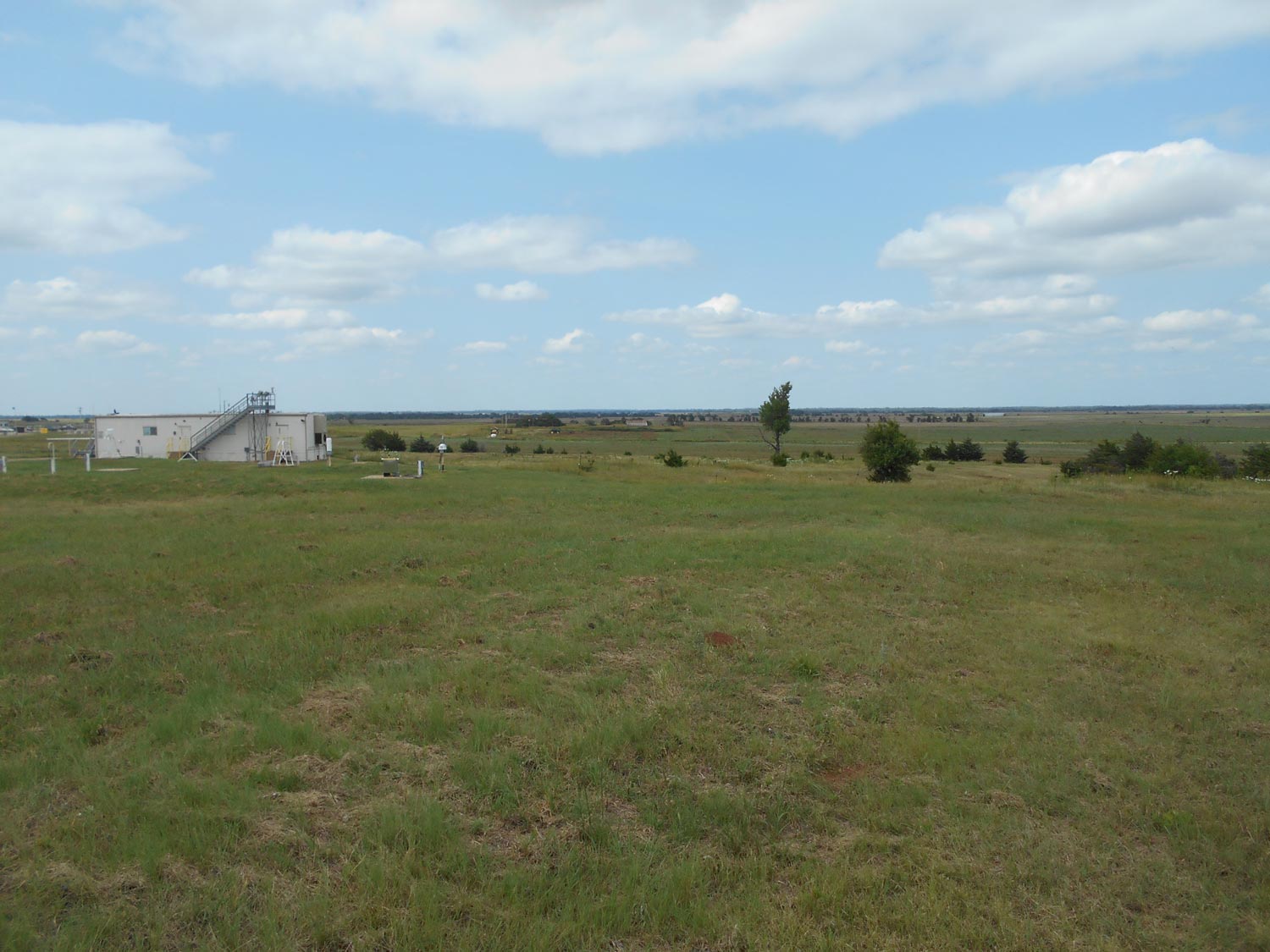
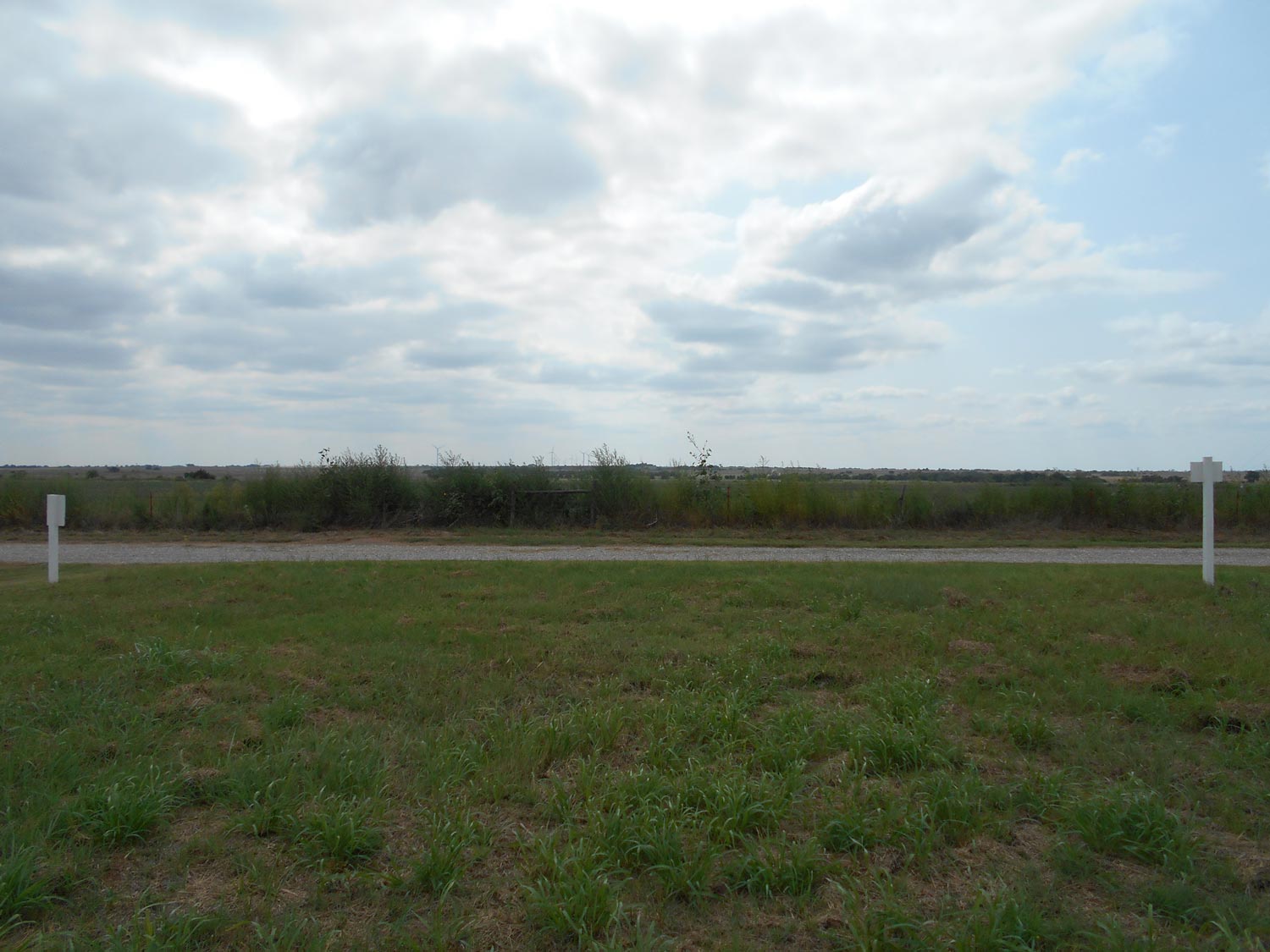
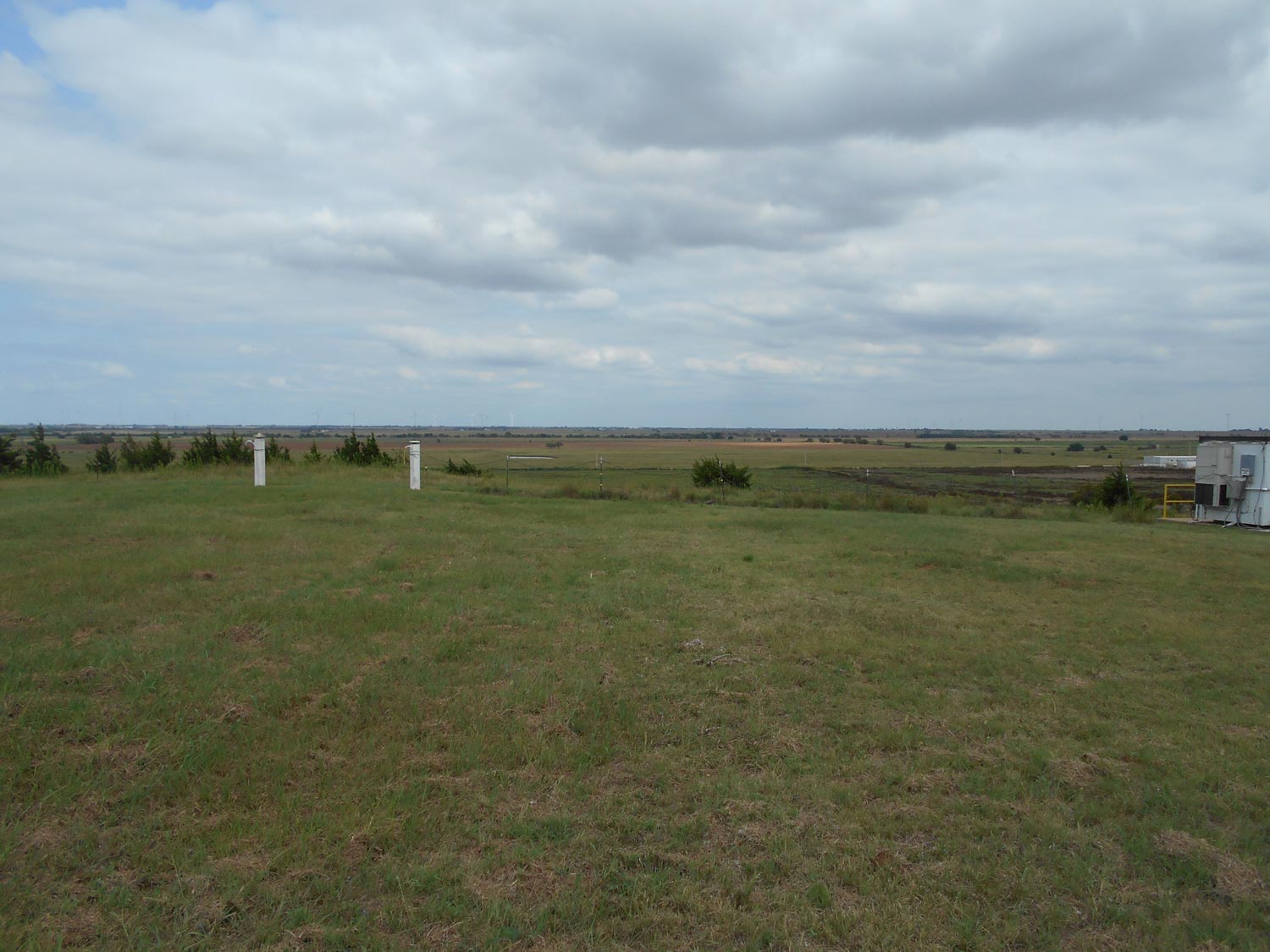
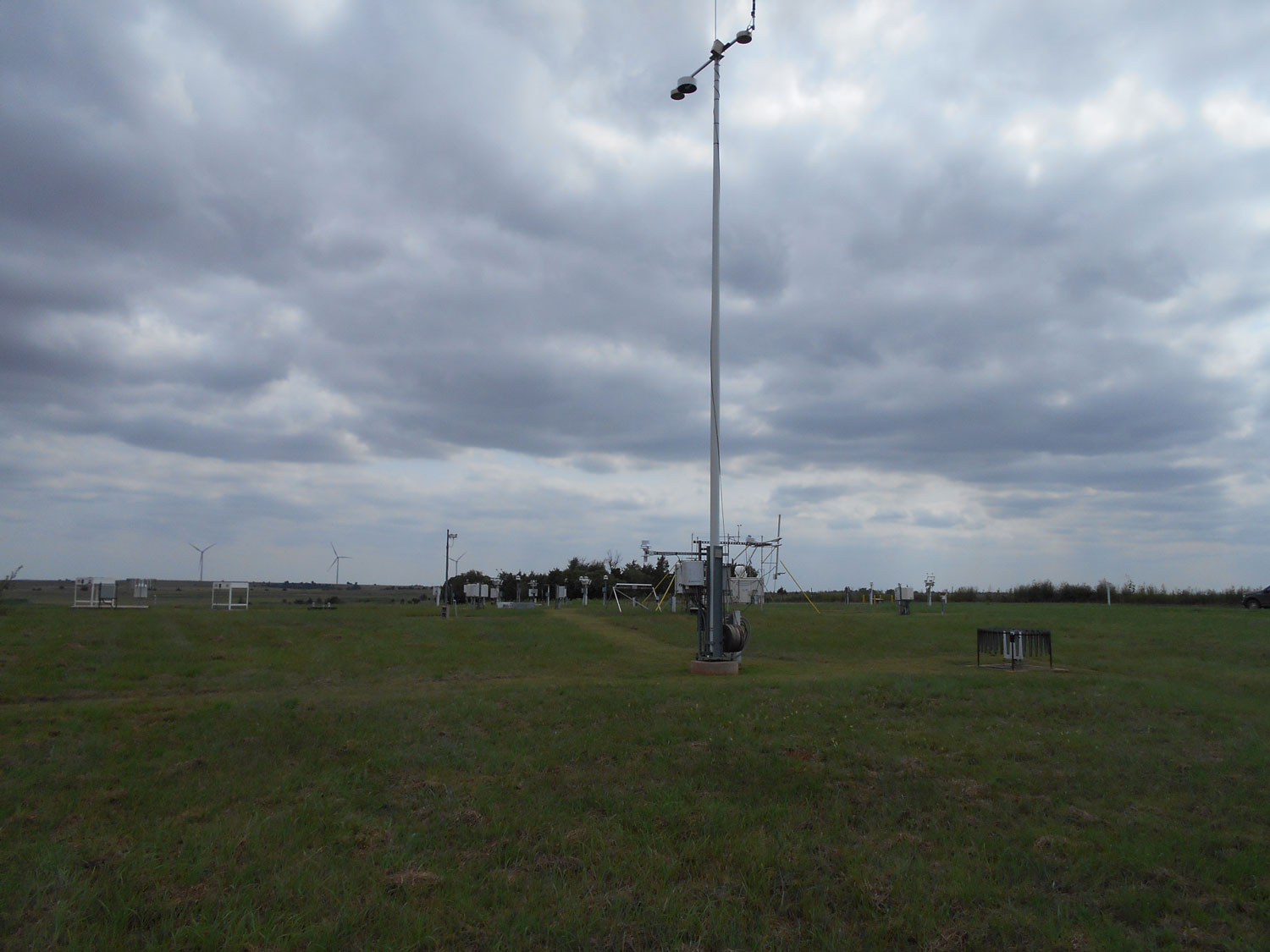
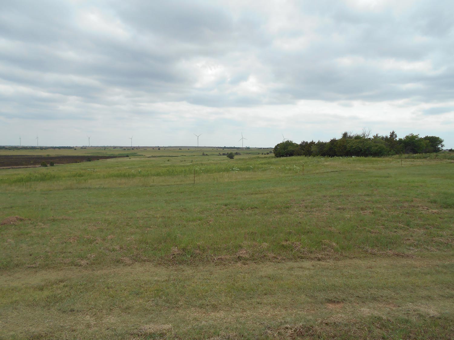
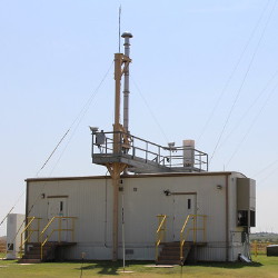
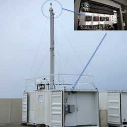
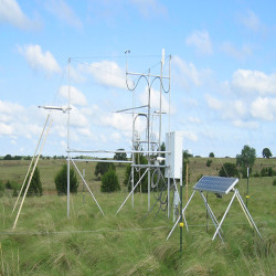
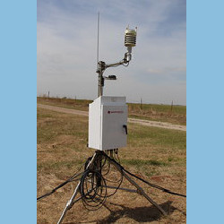
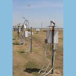
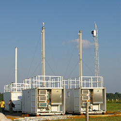
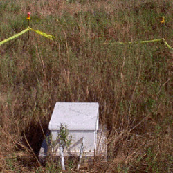
The E13 site is located in the middle of pastures and wheat fields near Lamont, Oklahoma.
Click to enlarge images.
 |
 |
 |
 |
 |
 |
 |
 |
|
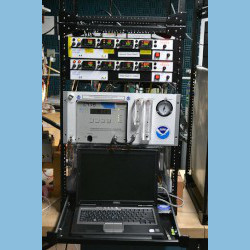
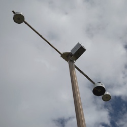
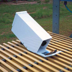
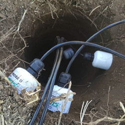
Instruments deployed at SGP - Lamont, OK (Extended and Co-located with C1)
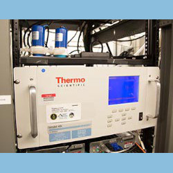
aosmet
Meteorological Measurements associated with the Aerosol Observing System
2016-11-15 — Currently Deployed
Browse Data
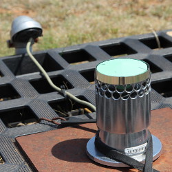
gndrad
Ground Radiometers on Stand for Upwelling Radiation
2025-12-01 — Currently Deployed
Browse Data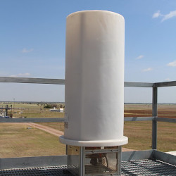
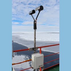
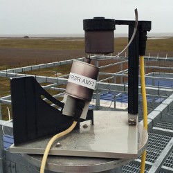

sirs
Solar and Infrared Radiation Station for Downwelling and Upwelling Radiation
1997-08-29 — Currently Deployed
Browse Data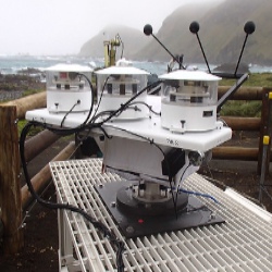
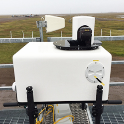
skyrad
Sky Radiometers on Stand for Downwelling Radiation
2025-12-03 — Currently Deployed
Browse Data

Primary Measurements collected at SGP - Lamont, OK (Extended and Co-located with C1)
Aerosol concentration
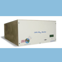
Browse DataAerosol extinction
Browse DataAerosol particle size
Browse DataAerosol particle size distribution
Browse DataAtmospheric moisture
Browse DataAtmospheric pressure
Browse DataAtmospheric temperature
Browse DataBackscattered radiation
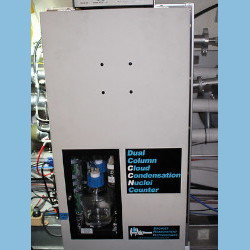
Browse DataCloud condensation nuclei
Browse DataHorizontal wind
Browse DataHydrometeor Geometry
Browse DataHydrometeor Size Distribution
Browse DataHydrometeor fall velocity
Browse DataHydrometeor size
Browse DataHygroscopic growth
Browse DataInorganic chemical composition
Browse DataLatent heat flux
Browse DataLidar Doppler
Browse DataLiquid water content
Browse DataLongwave broadband downwelling irradiance
Browse DataLongwave broadband upwelling irradiance
Browse DataLongwave narrowband brightness temperature
Browse DataNet broadband total irradiance
Browse DataOrganic Material Concentration
Browse DataOzone Concentration
Browse DataPrecipitation
Browse DataRadar reflectivity
Browse DataSensible heat flux
Browse DataShortwave broadband diffuse downwelling irradiance
Browse DataShortwave broadband direct normal irradiance
Browse DataShortwave broadband total downwelling irradiance
Browse DataShortwave broadband total upwelling irradiance
Browse DataShortwave narrowband diffuse downwelling irradiance
Browse DataShortwave narrowband direct normal irradiance
Browse DataShortwave narrowband total downwelling irradiance
Browse DataSnow depth
Browse DataSoil heat flux
Browse DataSoil moisture
Browse DataSoil temperature
Browse DataSulfur Dioxide (SO2) Concentration
Browse DataVisibility
Browse DataFollow Us:


Keep up with the Atmospheric Observer
Updates on ARM news, events, and opportunities delivered to your inbox
ARM User Profile
ARM welcomes users from all institutions and nations. A free ARM user account is needed to access ARM data.


